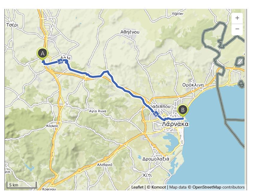
Nisou to Larnaca – 21st October
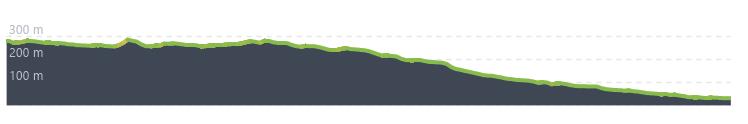
Distance: 31.8 km – Elevation +120 m -370 m
Weather: Sunny. Temperature: High 28 degrees
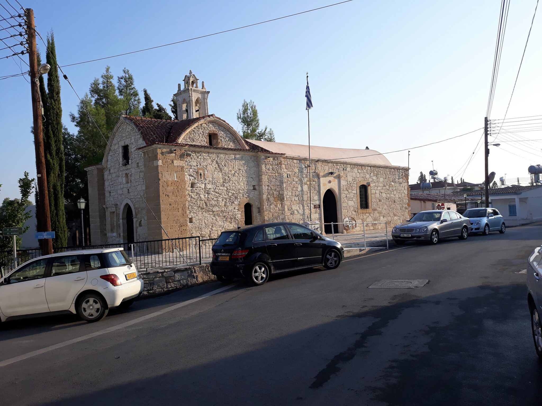
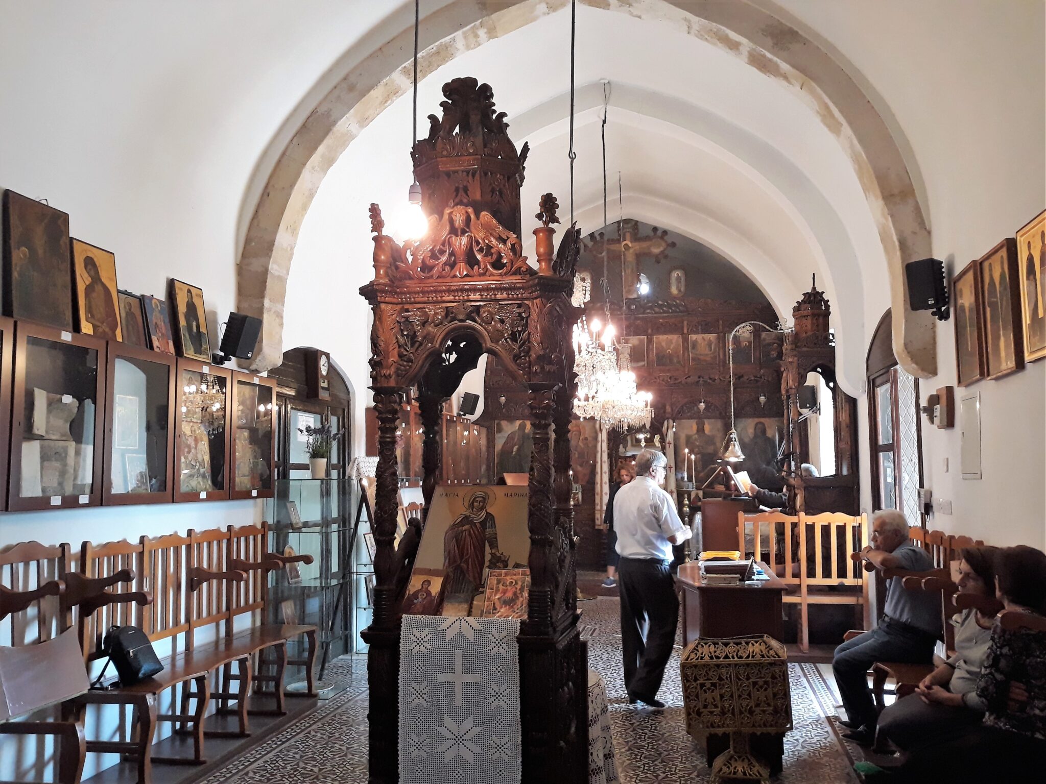
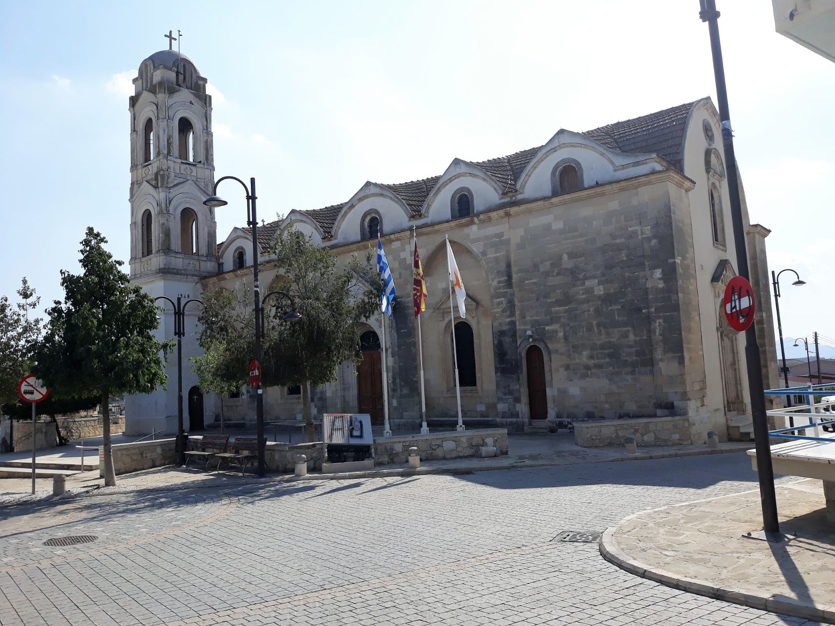
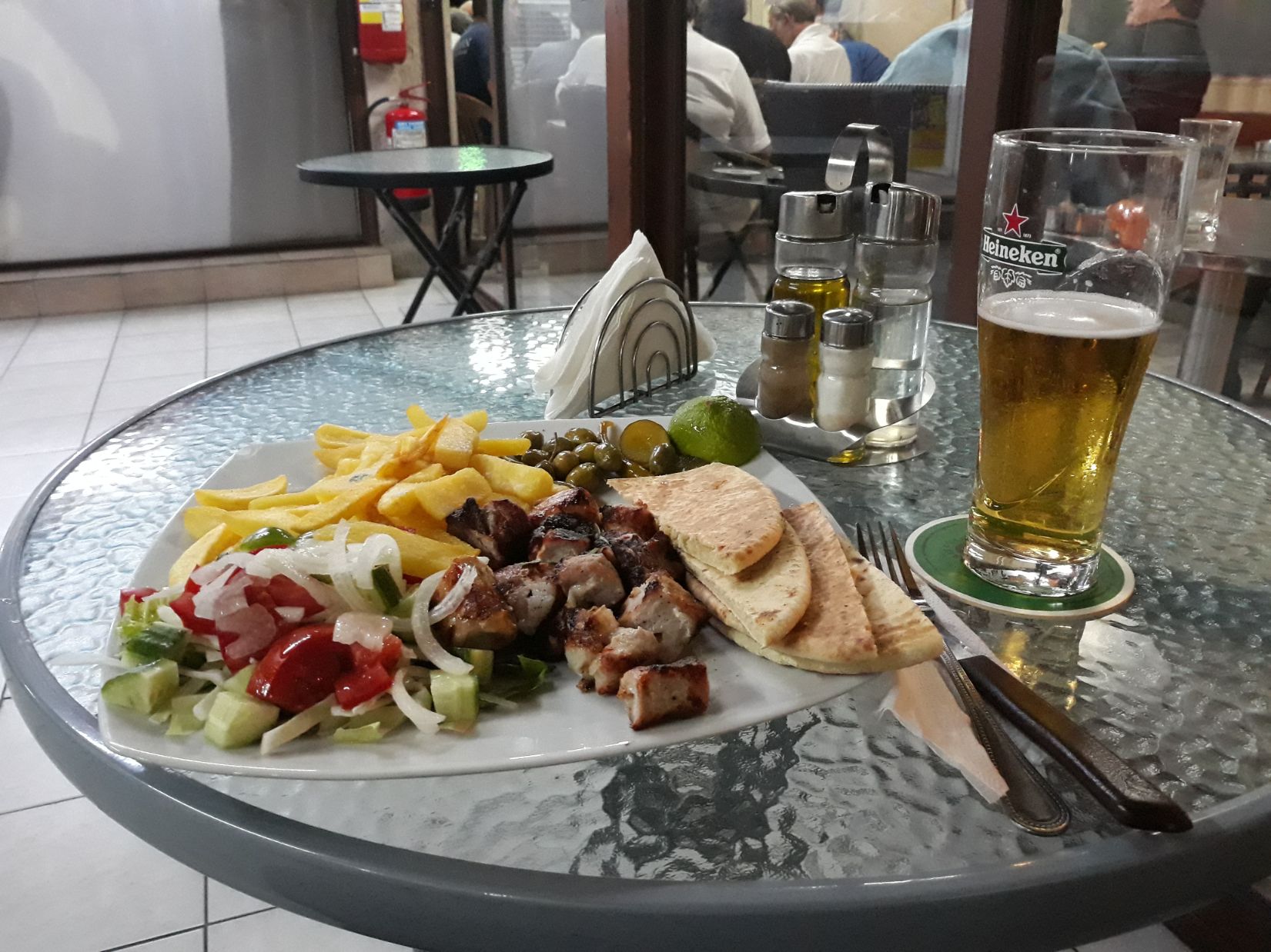
It was a fresh morning when I started walking just after 7 am. Yesterday’s storm had cleared the humidity of the past few days. It was a short walk to the village of Pera Chorio, and Hannah from George’s Villa sped past on a moped and waved as she rode by. The streets of the village were deserted and quiet but I noticed the rare sight of a church with open doors, and as I looked in I saw preparations being made for the morning service, so I entered and sat quietly at the back of the church. There were just 5 elderly residents in the congregation when the service started. The church was the Greek Orthodox Agia Marina, and it was my first church service since leaving Thessaloniki. It was an odd experience as none of the congregation or clergy acknowledged my presence amongst them, it was almost as if I was alone with God. The village was beginning its morning life when a little later I found a cafe open, simply called “Coffeebrands” and I sat and enjoyed a breakfast of croissants and a very drinkable coffee.
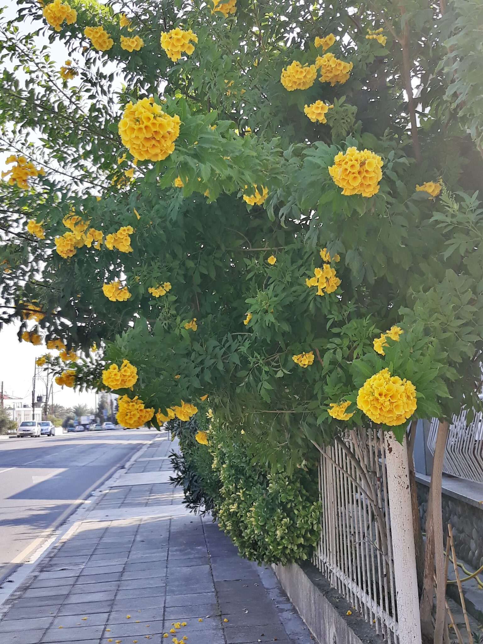
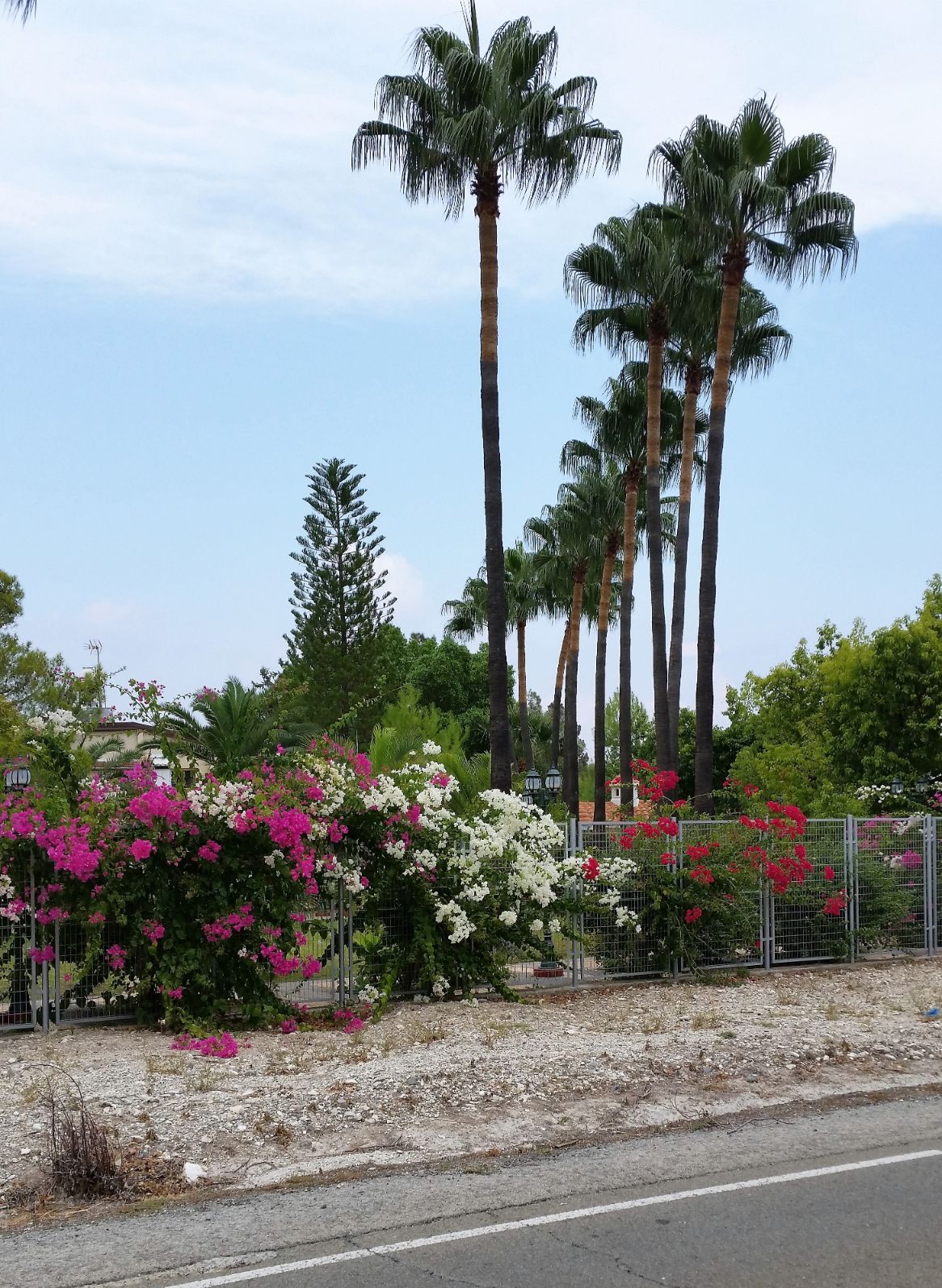
Pera Chorio is a large village with a population of close to 2200 and is a mainly farming community with a large number of immigrants forced to move here as a result of the 1974 invasion by the Turkish army. It is separated from its neighbouring village of Nissou by the Gialia River, the second largest river in Cyprus. Nissou origins are in the shepherds that used to keep their sheep pens in the foothills of the small mountain range of Ierakarka and the settlement grew from that. It was a pleasant walk through a mixture of houses, shops and small businesses, the wide streets were coloured by palm trees, red bougainvillea, and the glorious deep yellow of the Tecomaria.
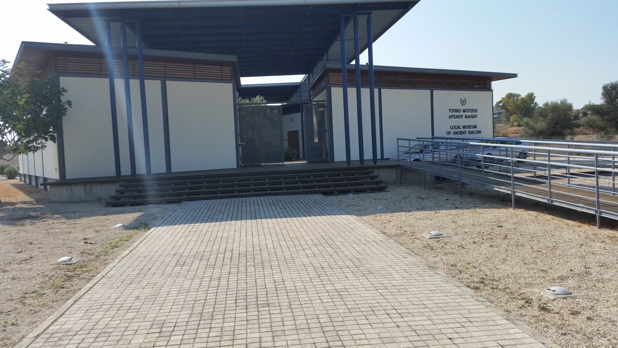
I am not sure where, because the villages here weld seamlessly together, but at some point I left the village of Pera Chorio and joined the town of Dali. Dali is ancient Idalion, one of the ten city kingdoms of ancient Cyprus. Here I found and visited the museum and ruins of Ancient Idalion.
“The archaeological site of Idalion is one of the most important sites in Cyprus, with rich finds now adorning the most famous museums of the world. The ancient city was founded, according to tradition, by the Achaean hero of the Trojan war, Chalcanor, descendant of Teucer, the founder of Salamis.
The earliest remains of human occupation were found at the locality Agridi and date to the 7th M.B.C. and 5th M.B.C. From the 18th century B.C. to the 11th century B.C, the Middle and Late Bronze Age, various settlements had trading contacts with neighbouring regions of the Mediterranean and the area continued to be inhabited without interruption until its development to an urban centre. The economic and cultural floruit culminated in the establishment of the kingdom of Idalion, which is mentioned for the first time in the Assyrian written sources of the 7th century B.C. The kingdom flourished until the middle of the 5th century B.C., when its capital was besieged and captured by the Phoenician kings of Kition.” (Text from the website of the Cyprus Department of Antiquities)
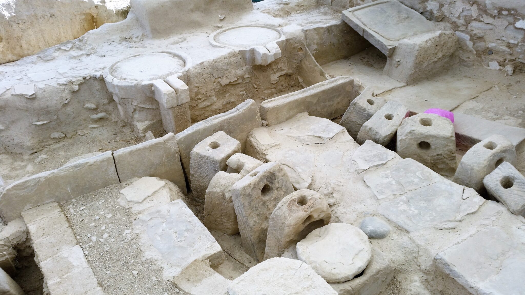
After viewing the extensive collection of exhibits in the museum I walked around the current excavations which are quite remarkable and show the administrative center of the city-kingdom, including the palace stronghold and commercial installations, a large olive press, storage rooms with huge pithoi pots, and residential quarters for guards and elite members of the administration.
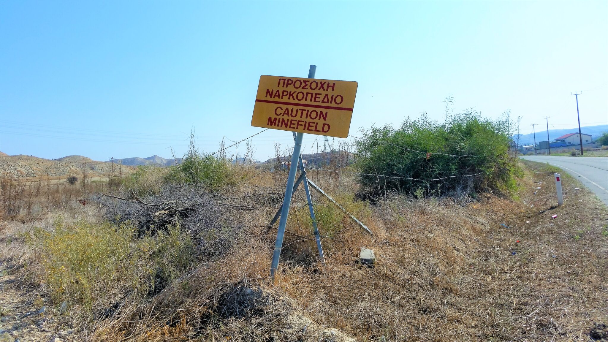
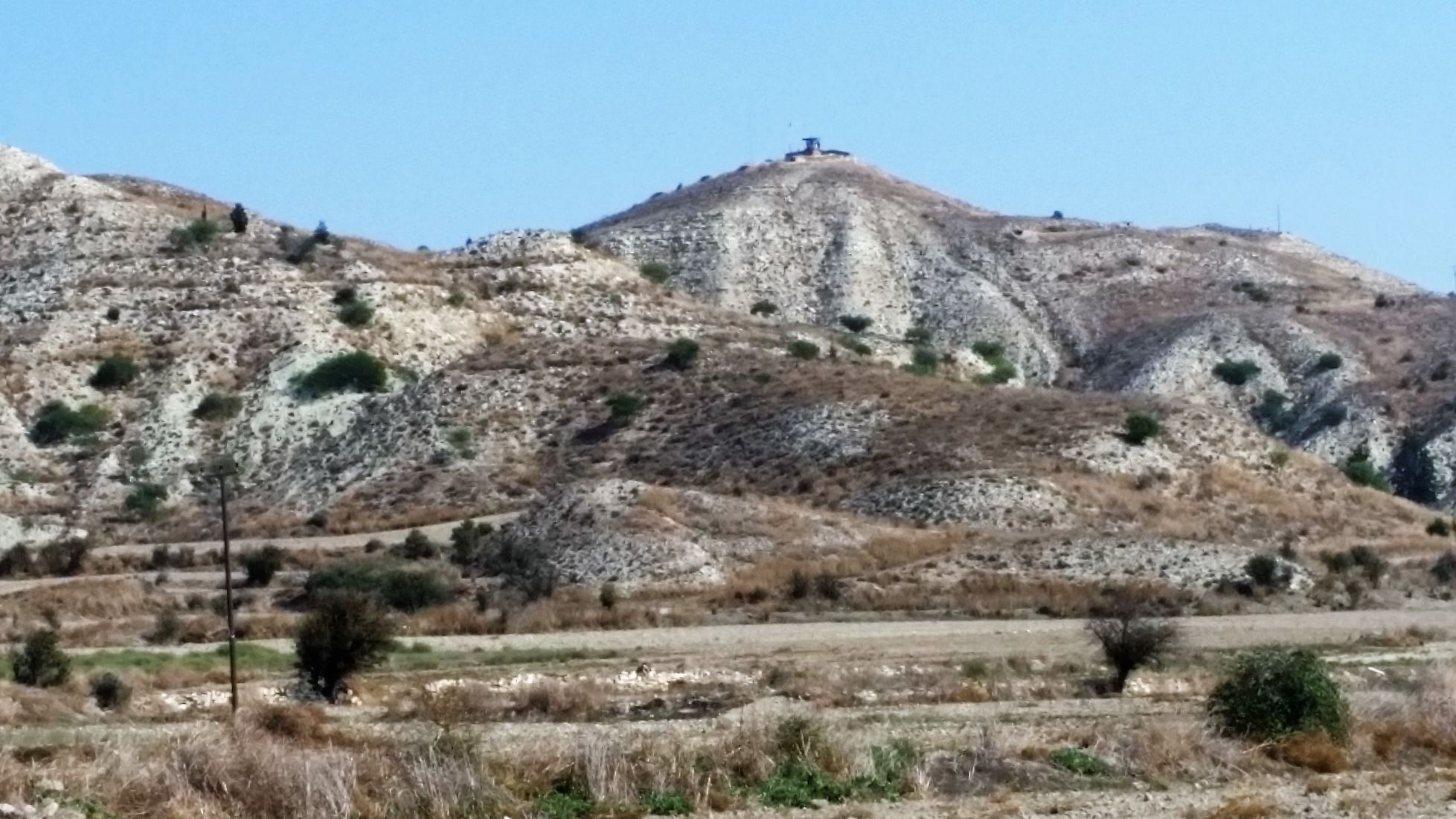
From Dali I continued my walk across the plains of the Mesaoria heading for the village of Lympia. I was in more open countryside now and the landscape appeared dry and arid but much had been ploughed ready for seeding. The major crops are cereals such as corn or wheat. The route took me through the UN buffer zone that separates North and South Cyprus and there were many reminders of the war that engulfed the island in 1974. The UN watchtowers located on the hills that periodically rise from the flat landscape and a fenced-off minefield. The buffer zone here is known as the Louroujina Pocket, it is like a teardrop dropping from the usually straight line of the border between North and South Cyprus. It separates the villages of Lympia and Louroujina which at the narrowest point are just 250 metres apart. A separation that typifies the problem that exists between the Turkish Cypriot and the Greek Cypriot communities. Prior to the 1974 invasion, Louroujina was primarily a Turkish Cypriot village and became the destination for immigrants fleeing from the aggression of Greek Cypriots; whilst Lympia was primarily a Greek Cypriot village with immigrants forced to move from the aggression of the Turkish Cypriots. After the ceasefire agreed in 1974, the Turkish army continued to push towards and to secure Louroujina and thus created the teardrop.
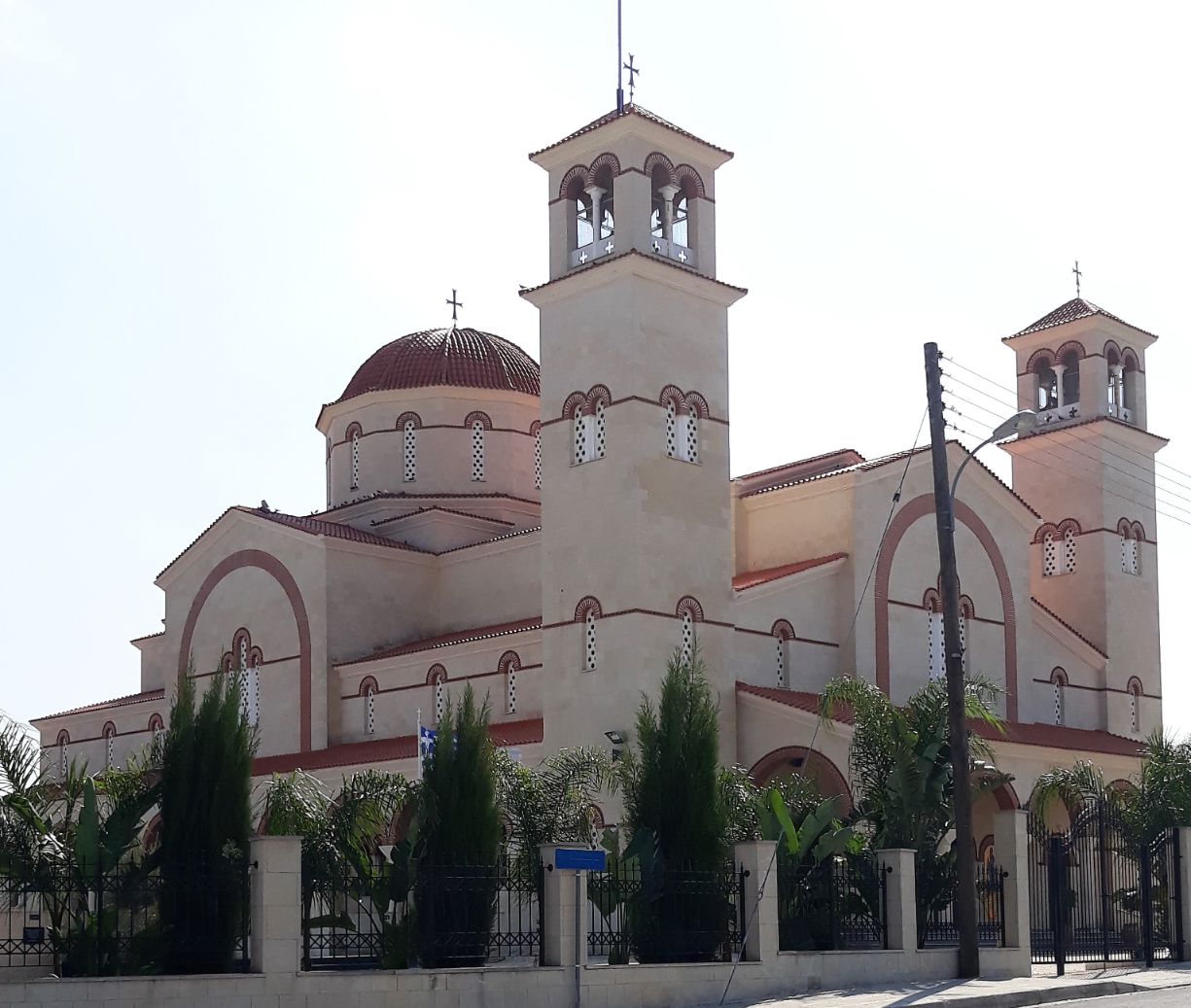
The white painted Chapel of the Holy Cross stands peacefully on a hill above the village of Lympia but it is also the location of a Turkish army observation post and weapons and ammunition storage, the watchtower looming threateningly over the village, creating a paradox between peace and war. My walk through Lympia took me past the churches of Saint George and the modern Church of Saint Epifanios.
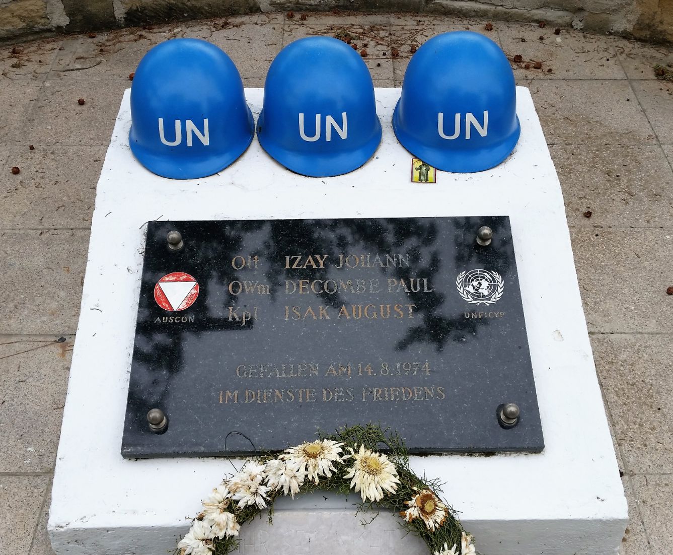
I continued to follow the B2 road out of Lympia which flirted with the UN buffer zone and I could sense the eyes of the Turkish soldiers watching me from their watchtowers on the not too distant hills. I was alone on this road and for a moment I felt vulnerable as a lone walker. The browns and greys of the barren landscape stayed with me until I reached the now deserted and abandoned village of Kochi. It had been entirely inhabited by a small community of Turkish Cypriots who had long since departed to Northern Cyprus. It was here that I sadly came to a memorial for three young Austrian soldiers, UN peacekeepers who were killed in a napalm attack by Turkish aircraft. The following is the text from the memorial:
“On the 14″ of August 1974, just a few meters from here, three Austrian UN soldiers, 14 Lieutenant Johann IZAY, Master Sergeant Paul DECOMBE and Corporal August ISAK died in a Turkish napalm air attack, south of the village of KOSHI, two days before implementation of the cease-fire arrangements. The patrol with the call sign IZAY, consisting of four Austrian Peacekeepers, negotiated with the two parties to prevent an attack of NG Forces on the village of KOSHI, where several Turkish Cypriot soldiers were holding their positions. At 1410 hours, fighting erupted between the two forces and the patrol withdrew to a position south of KOSHI whilst they awaited a resumption of the negotiations. At 1520 hours, the patrol sighted low flying aircrafts. They immediately tried to leave the area of KOSHI, and headed towards LARNACA. Soon after the aircrafts passed over again, this time bombing the patrol with napalm. Three of the Austrian Peacekeepers were killed in this attack. Only the driver, Lance Corporal SATTLECKER, survived.”
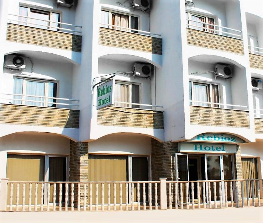
I arrived in Aradippou on the outskirts of Larnaca at 3.00 pm and found my way to the family run Rebioz Hotel which would be my base for the next two days before I leave on Thursday with a flight to Tel Aviv and the final part of my pilgrimage.