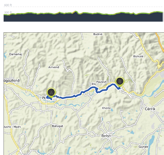
Peqin to Broshka – 4th July
Distance: 20.2 km – Elevation +230 m -200 m
Weather: Sunny. Temperature: High 35 degrees
It was a warm and muggy night but despite the room having no air conditioning I slept well. I was feeling much better, the tiredness and queasiness that had hit me the day before yesterday had gone. I have no idea of the cause, it could have been something I had eaten or drunk or maybe a touch of sunstroke but anyway I was now feeling myself again.
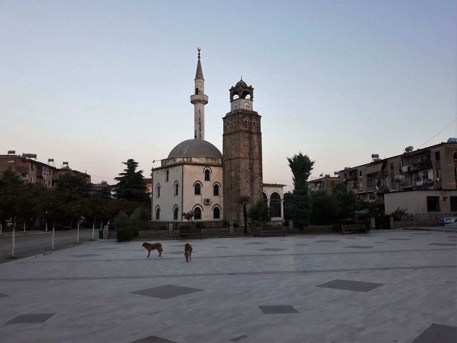
The streets were deserted and it was beautifully cool as I left the hotel at 5.00 am; the village dogs were patrolling the central square as I walked past the Abdurrahman Pasha Mosque, also called the Clock Mosque. The mosque has had a chequered history. First built in 1666 by Abdi Pasha the Albanian, it was destroyed by a fire and rebuilt in the 1830s, and then its minaret and dome were destroyed in 1970 by the communist dictatorship under Enver Hoxha. The mosque was reconstructed in 1992.
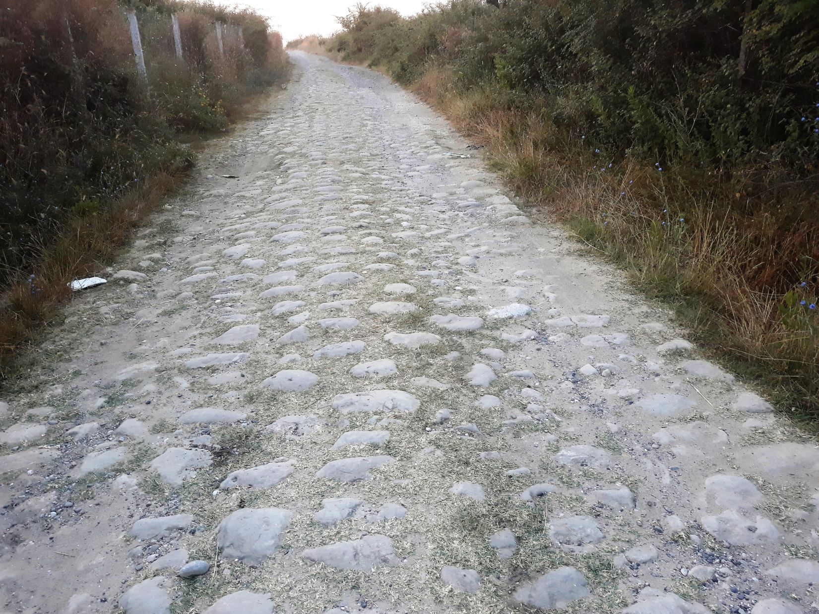
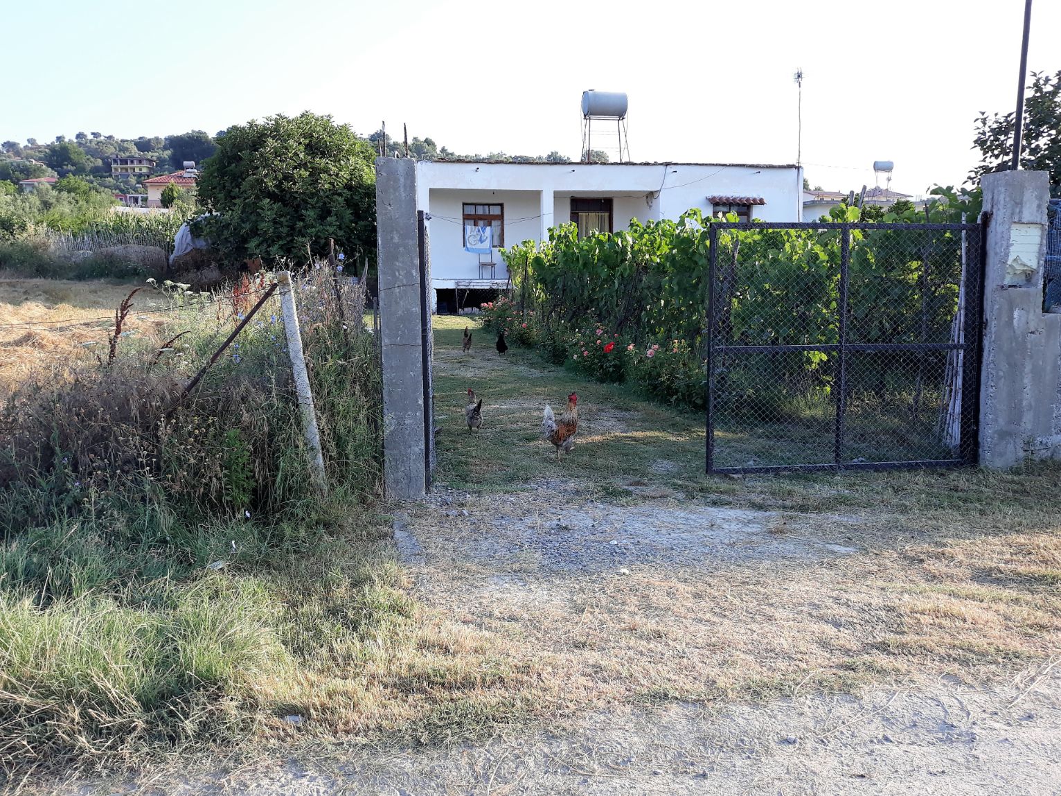
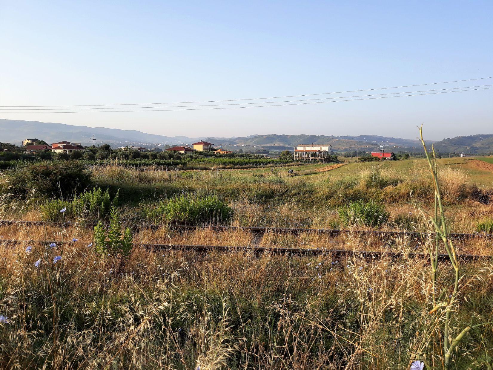
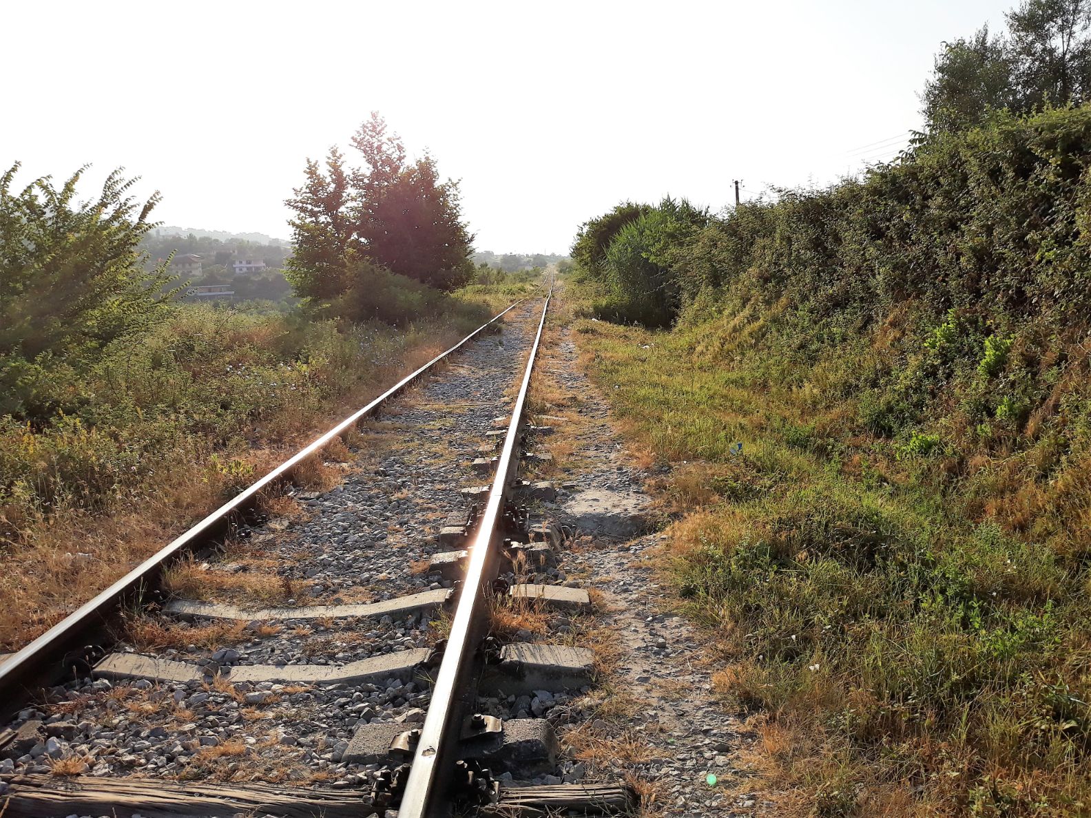
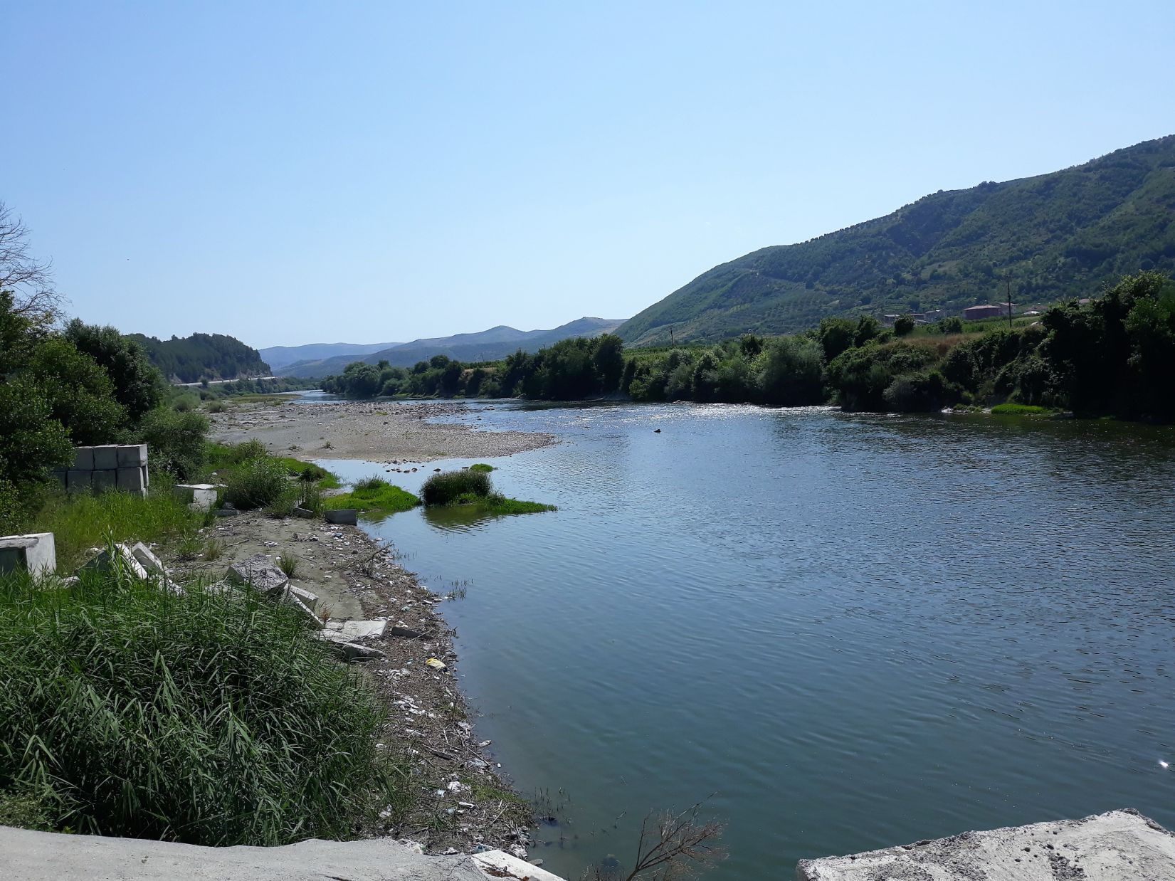
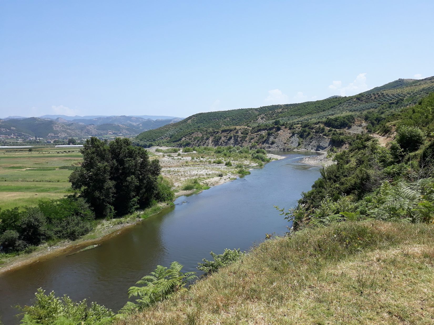
The path took me out of the town, across a railway track, and then on a section of the original way of the Via Egnatia, the stone road is an Ottoman repair of the original Roman road. I passed by the small farming communities of Fatish and Copanaj where the path then took to the railway track. I felt a little uneasy walking on the rail track but It is a common practice in Albania for the local people to walk this way. I followed the railway track for close to 8 kilometres, sometimes walking on the track itself or adjacent paths and dirt roads. I passed the small rural villages of Lolaj, Pajove, and Bishqem. The railway crossed several streams and the viaducts provided extensive views across the fertile valley of the Shkumbin river.
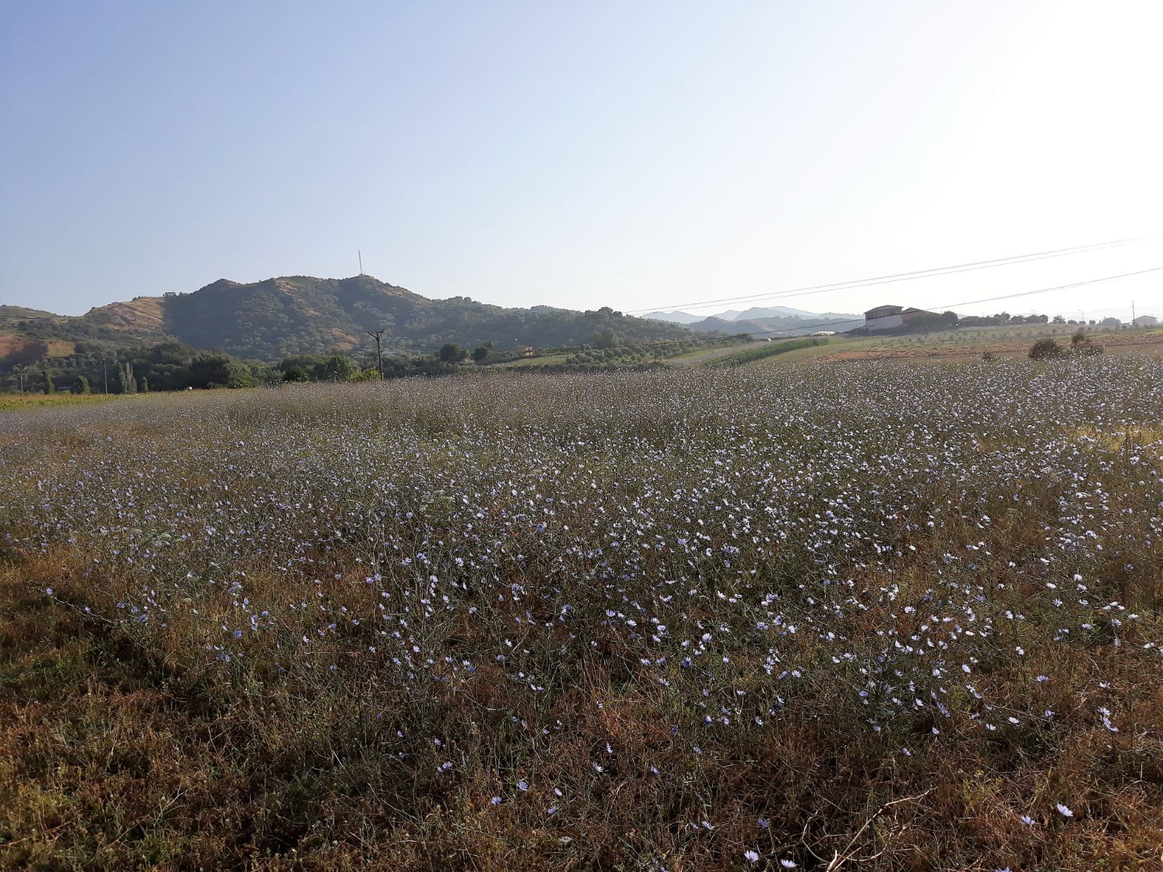
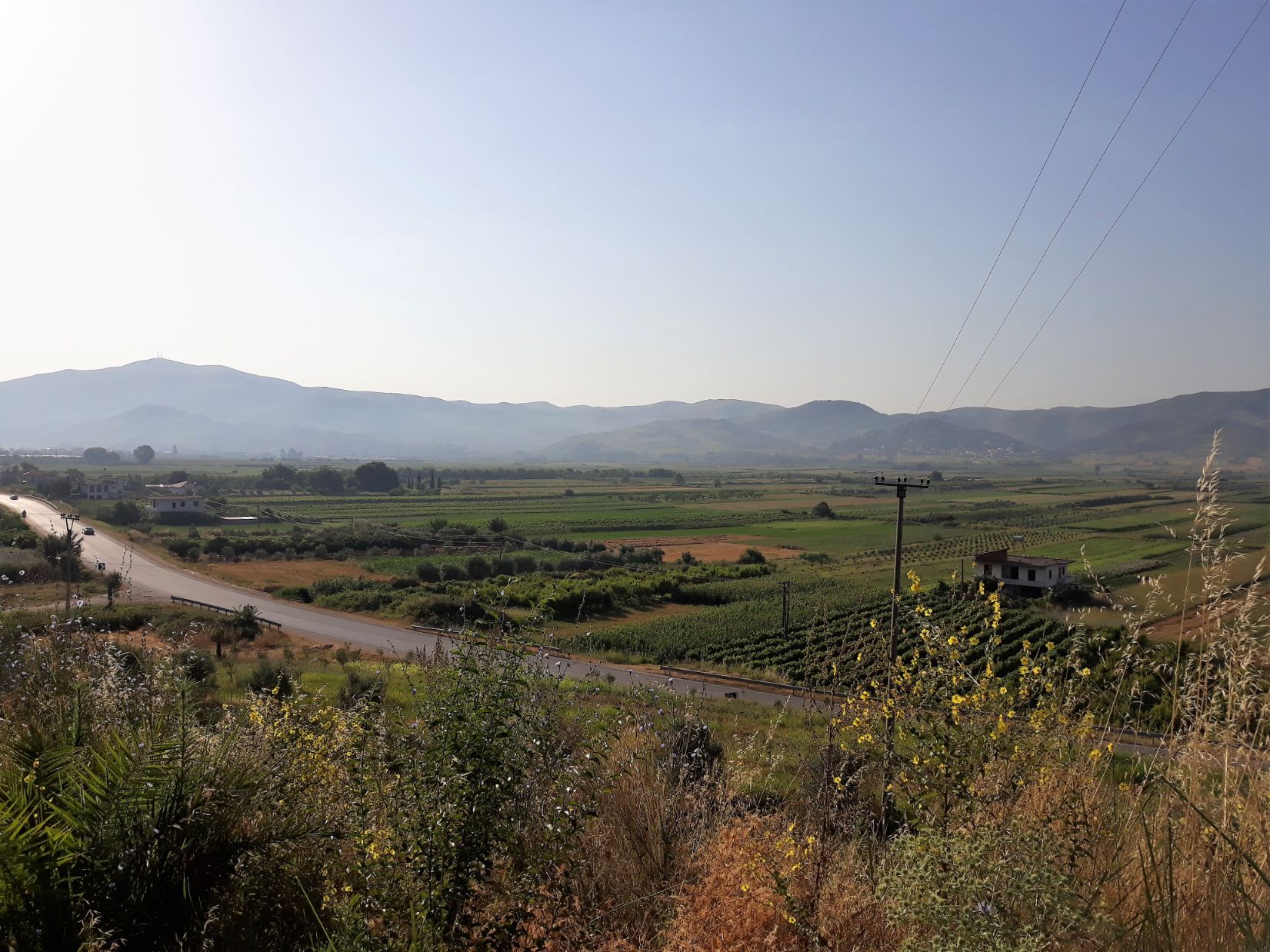
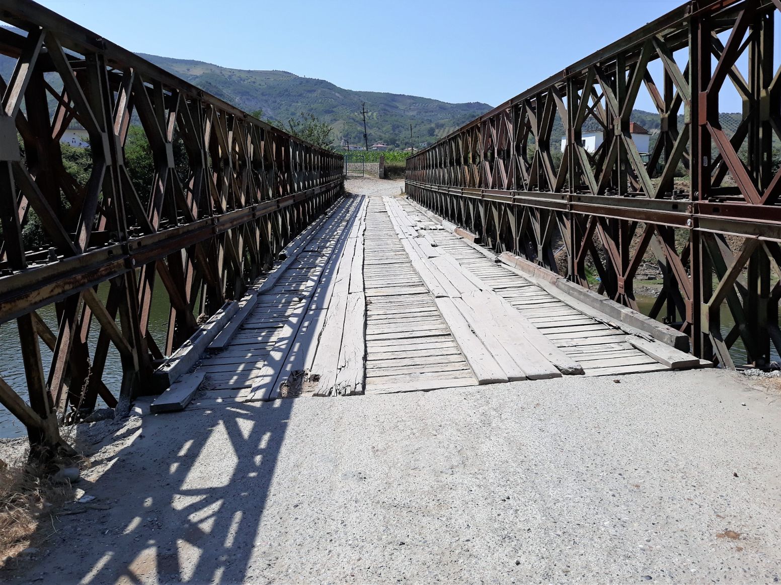
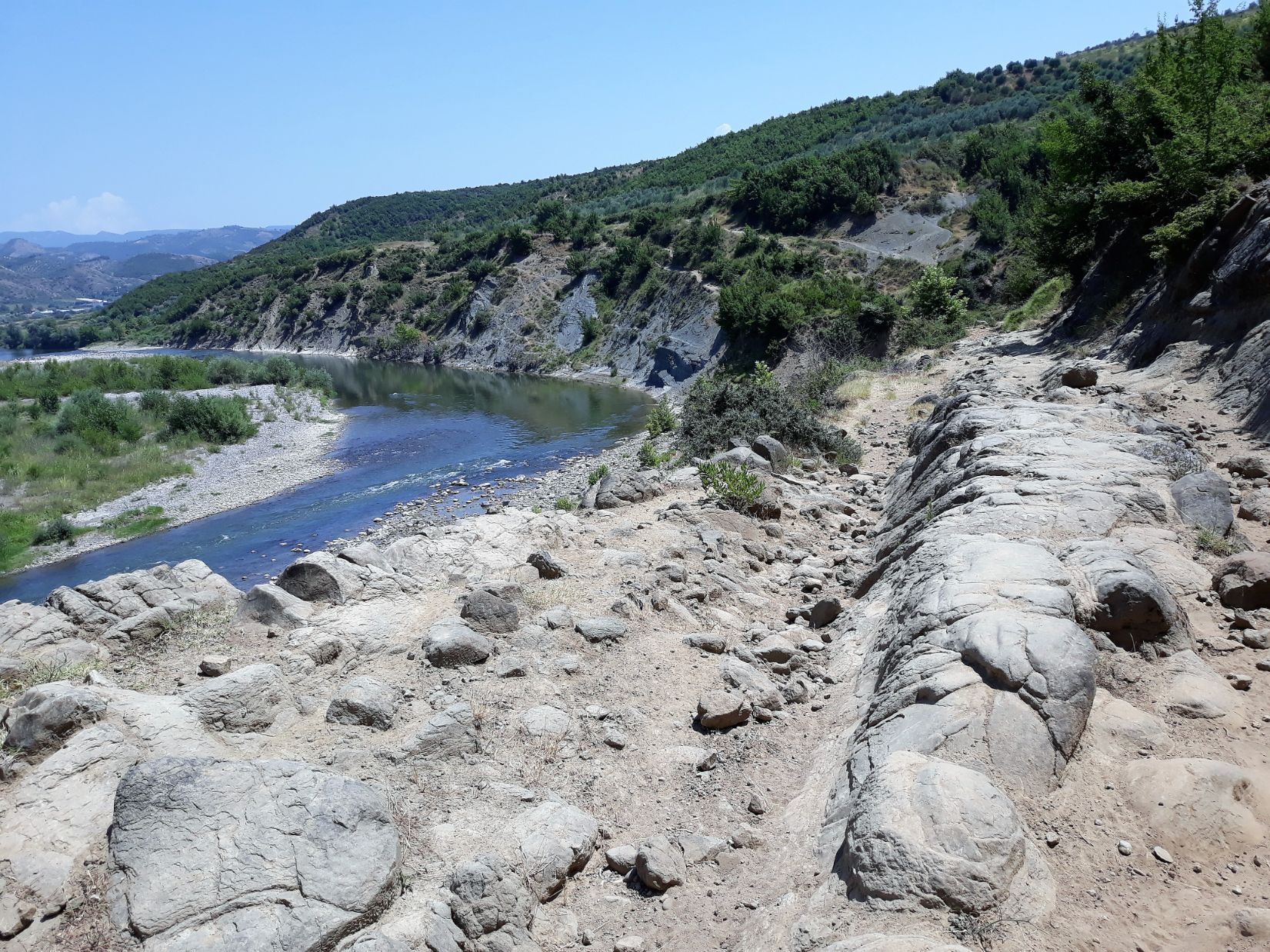
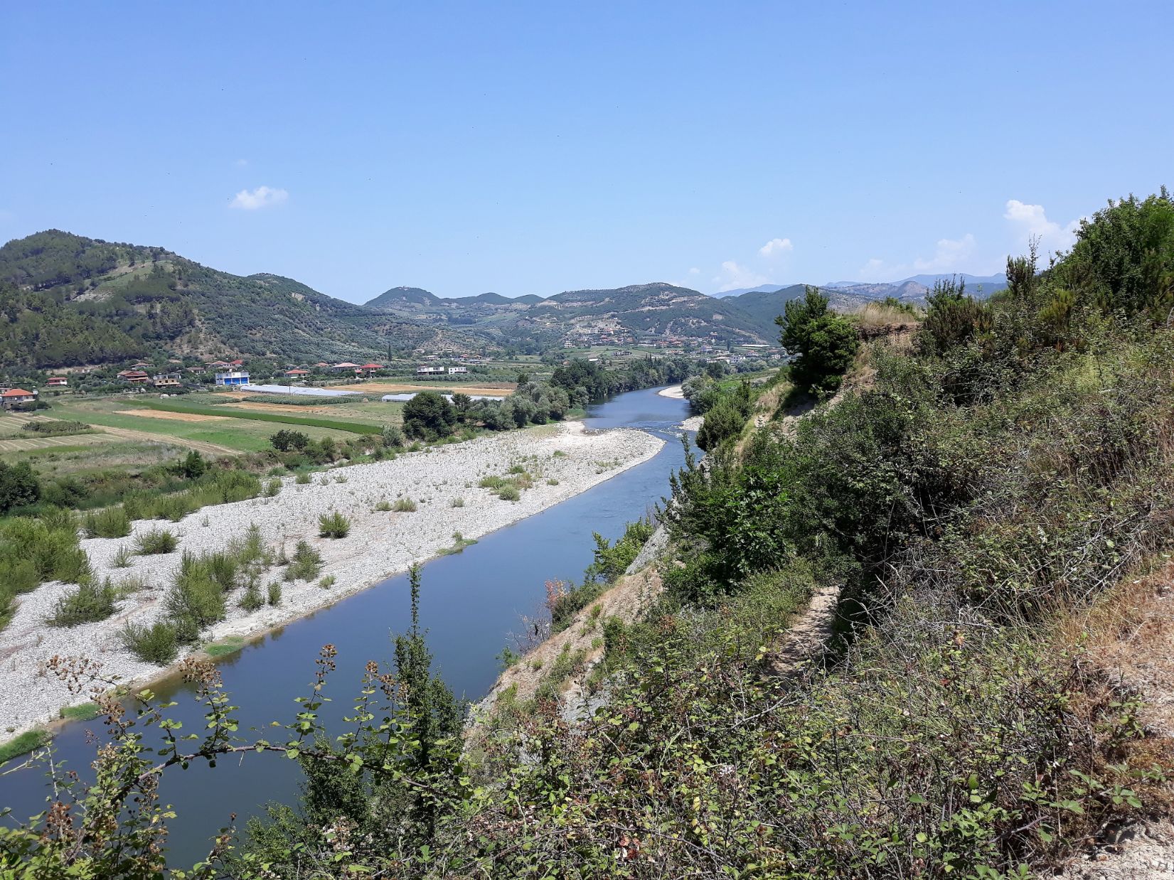
It was 10.00 am when I reached the bridge that took me across the Shkumbin river. It had been slow walking and I had covered just 14 kilometres in 5 hours. I began to feel the heat of the mid-morning sun as it rose in a cloudless blue sky and I took a rest break in a small cafe close to the bridge. Crossing over a typical Albanian bridge the path led me on through the village of Grykesh Madh and the fertile valley of the Shkumbin with its patchwork fields of sunflowers and other crops and then the path, sometimes rocky, took me along the high banks of the river itself.
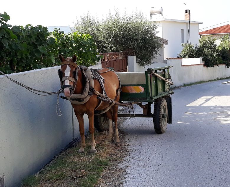
I reached Broshka at 2.00 pm and followed a road to a bridge that crossed over the Shkumbin. This bridge is not shown on Google maps but I knew of it from a friend who had walked this way the previous year. I was heading for the ‘ AutoGrill’ located on the state road almost opposite the bridge. At first sight, it looks like a fuel filling station. It was around 3 pm as I approached a young man sitting on the forecourt and asked if they had a room and bed free. Fortunately, he spoke English. He took me inside and after earnest discussions with the owner, I was told I could have a room but it would not have power until 5 pm because of a fault in the power supply. I elected to wait in the reception area and enjoy a cold beer. I showed my hosts the Via Egnatia guide book and for the next two hours, the young man gave me a lecture on Albanian history. My room was ready by 5 pm, it could have done with a lick of paint but the shower worked and one of three power points worked and the air conditioning worked well despite having the outlet flap held open with an empty cigarette pack! In the evening the owner took me to a restaurant/bar by car just a short distance along the state road where I enjoyed a tasty meal of pork chops and green salad. The bar owner took me back to the AutoGrill where the young man said he was on duty for 24 hours and if I needed anything he was around.