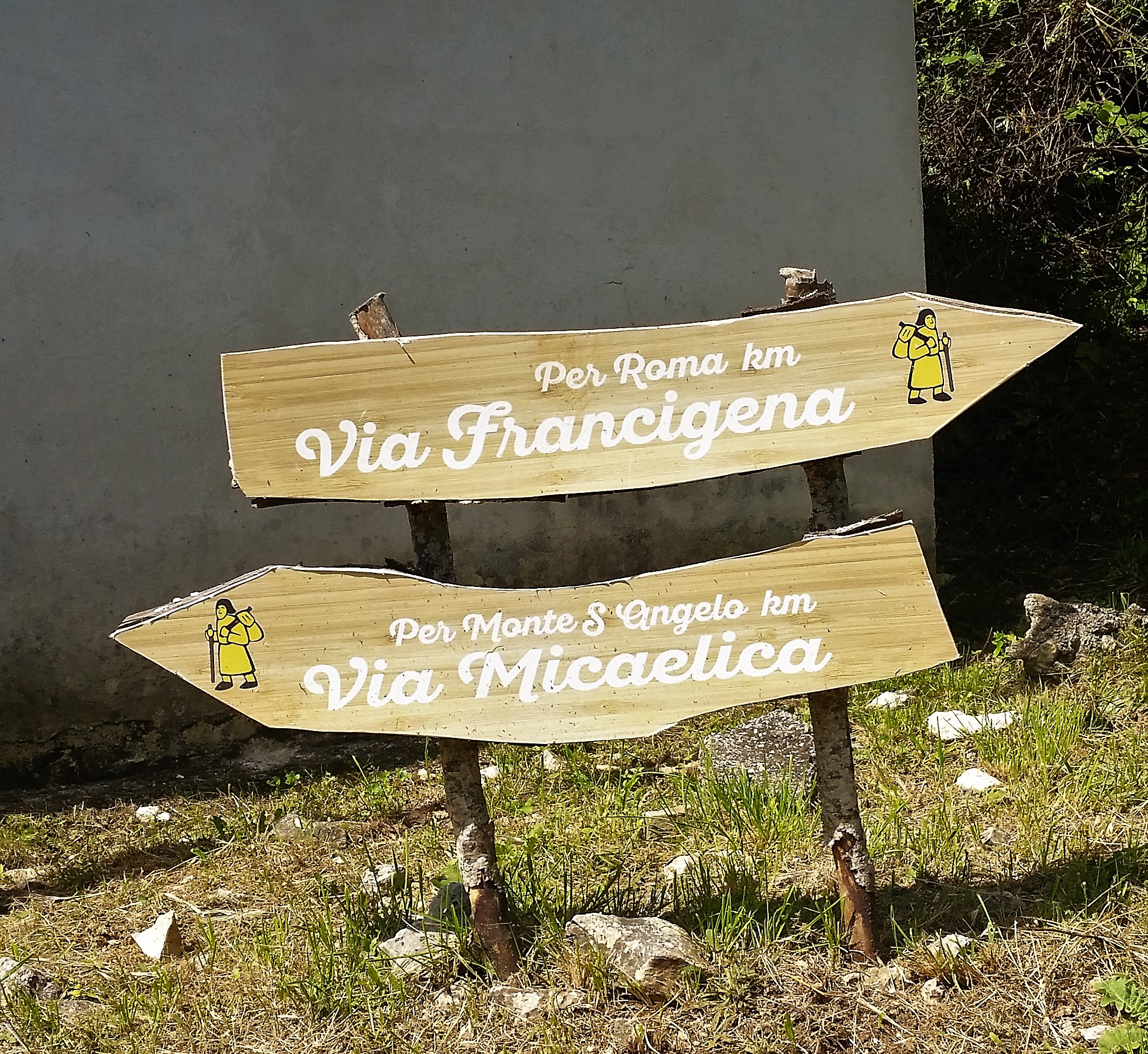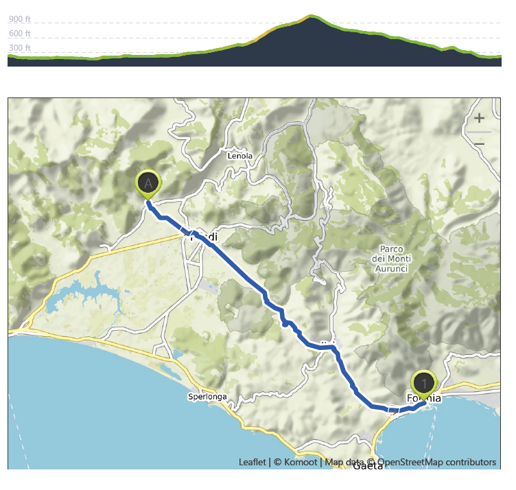
San Magno Monastery to Formia – 9th June
Distance: 26.3 km – Elevation +330 m -320 m
Weather: Sunny. Temperature: High 34 degrees
I started early after a peaceful night in the Monastery. I knew it was going to be a long day – a big hill for much of the day ( see elevation detail). My first stop was going to be the town of Fondi, an important fruit and vegetable center, and the road from the monastery ran through what might be called, the garden of Fondi, with olive groves but also a large number of greenhouses and cultivated fields.
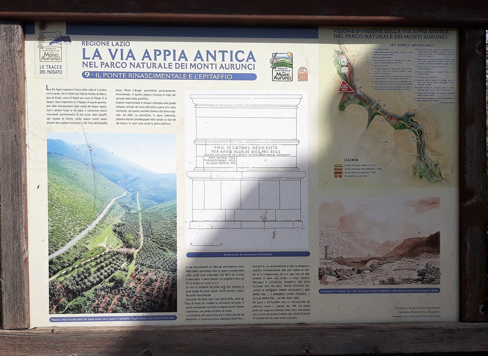
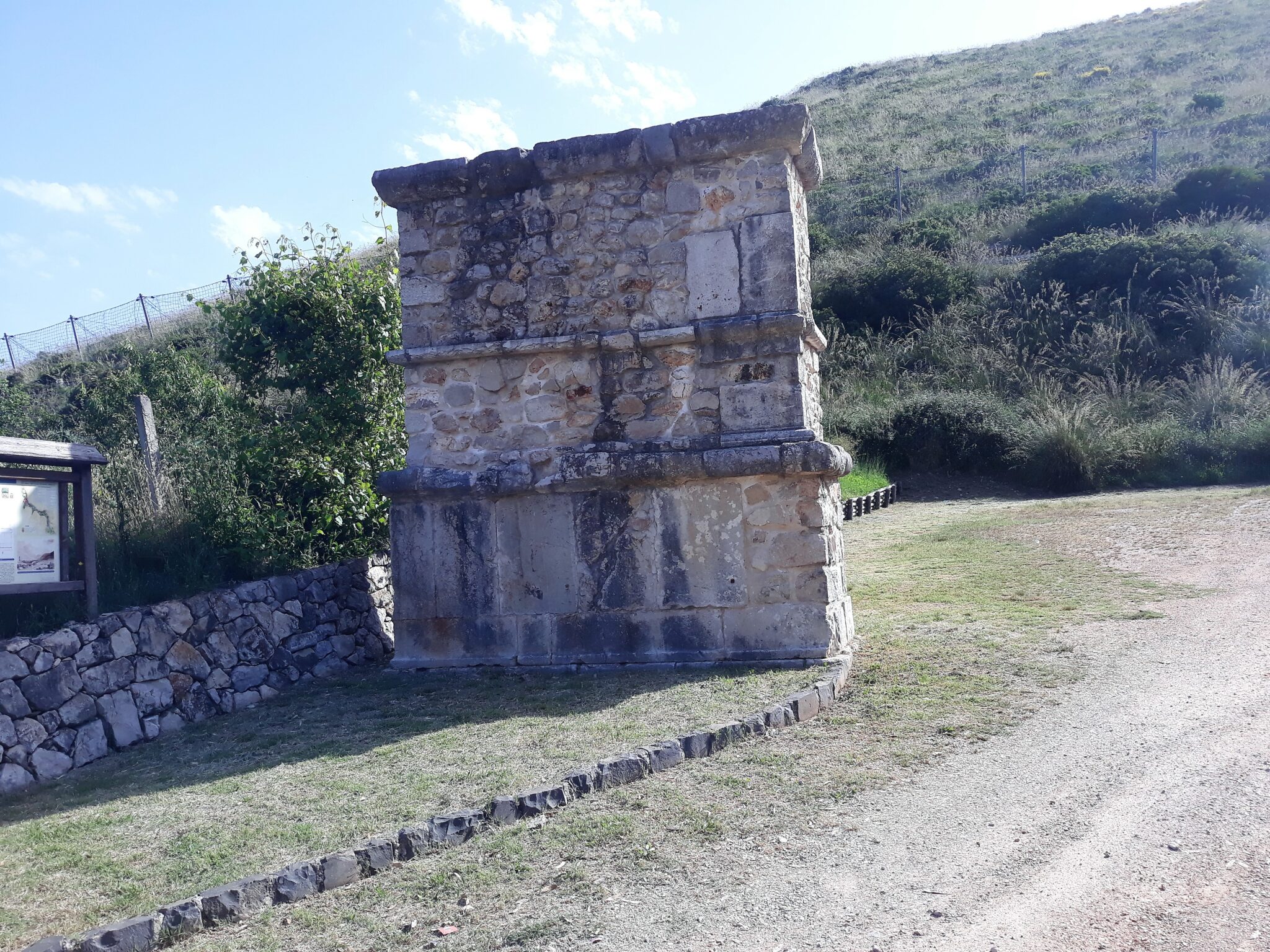
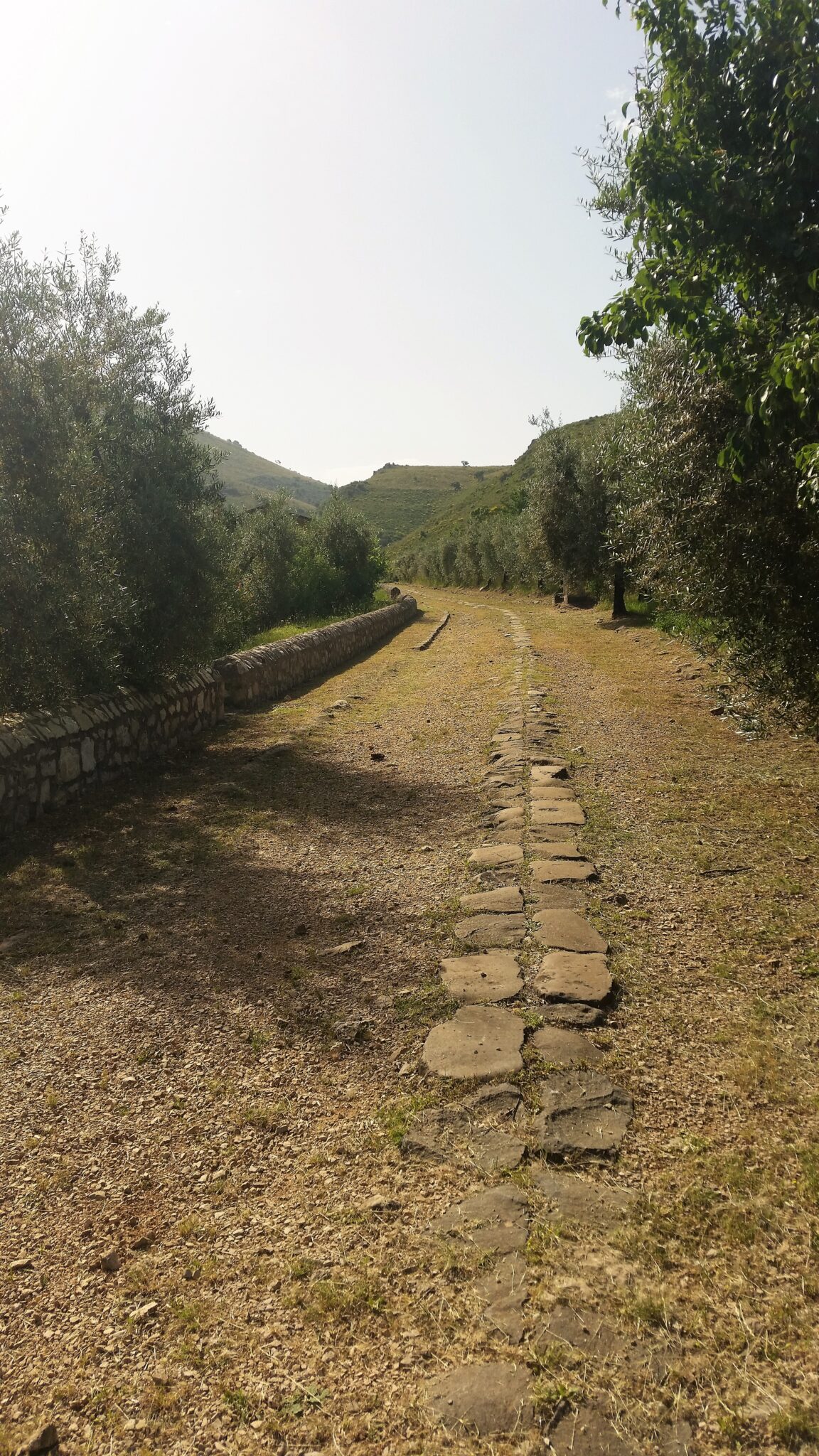
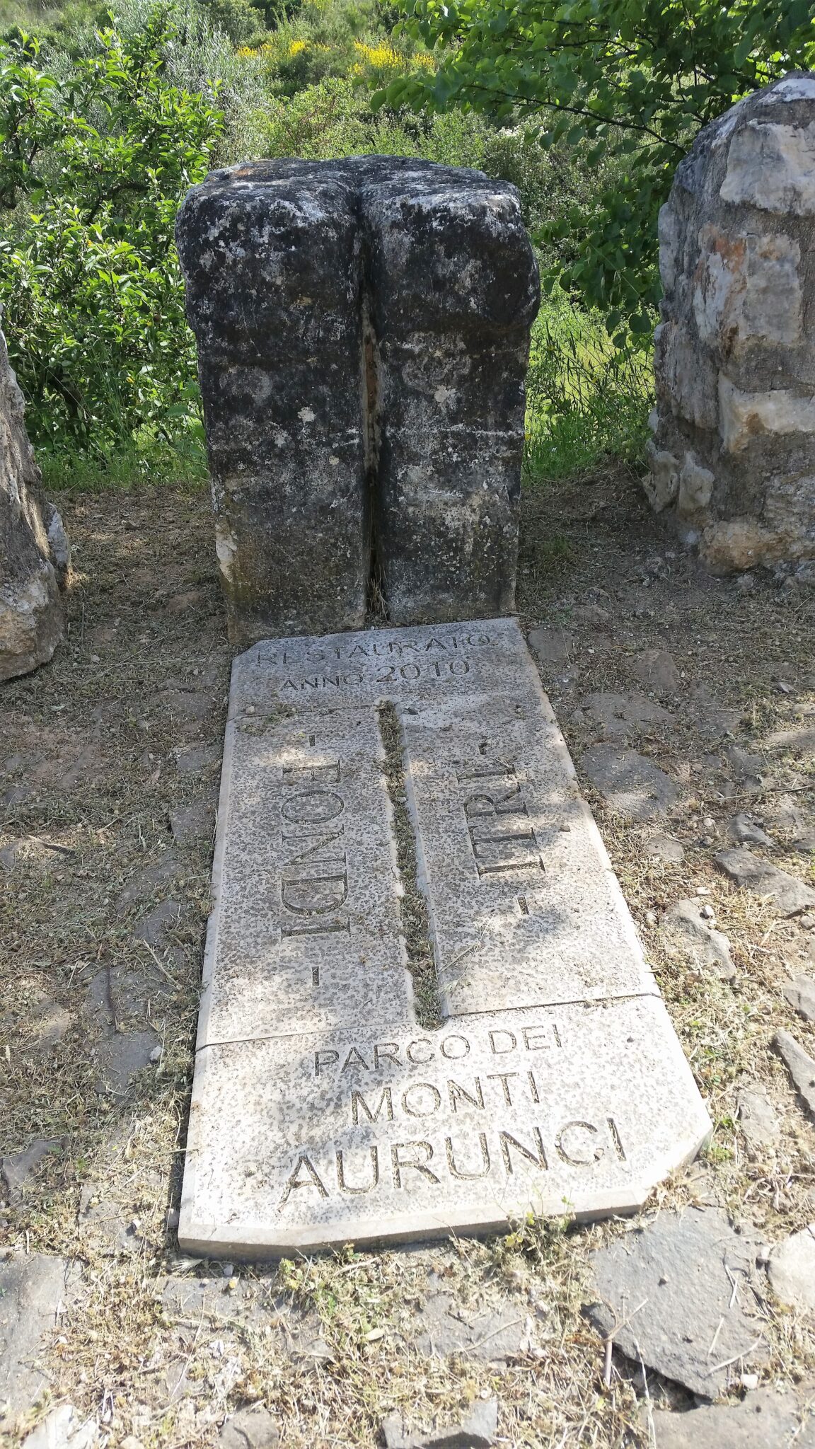
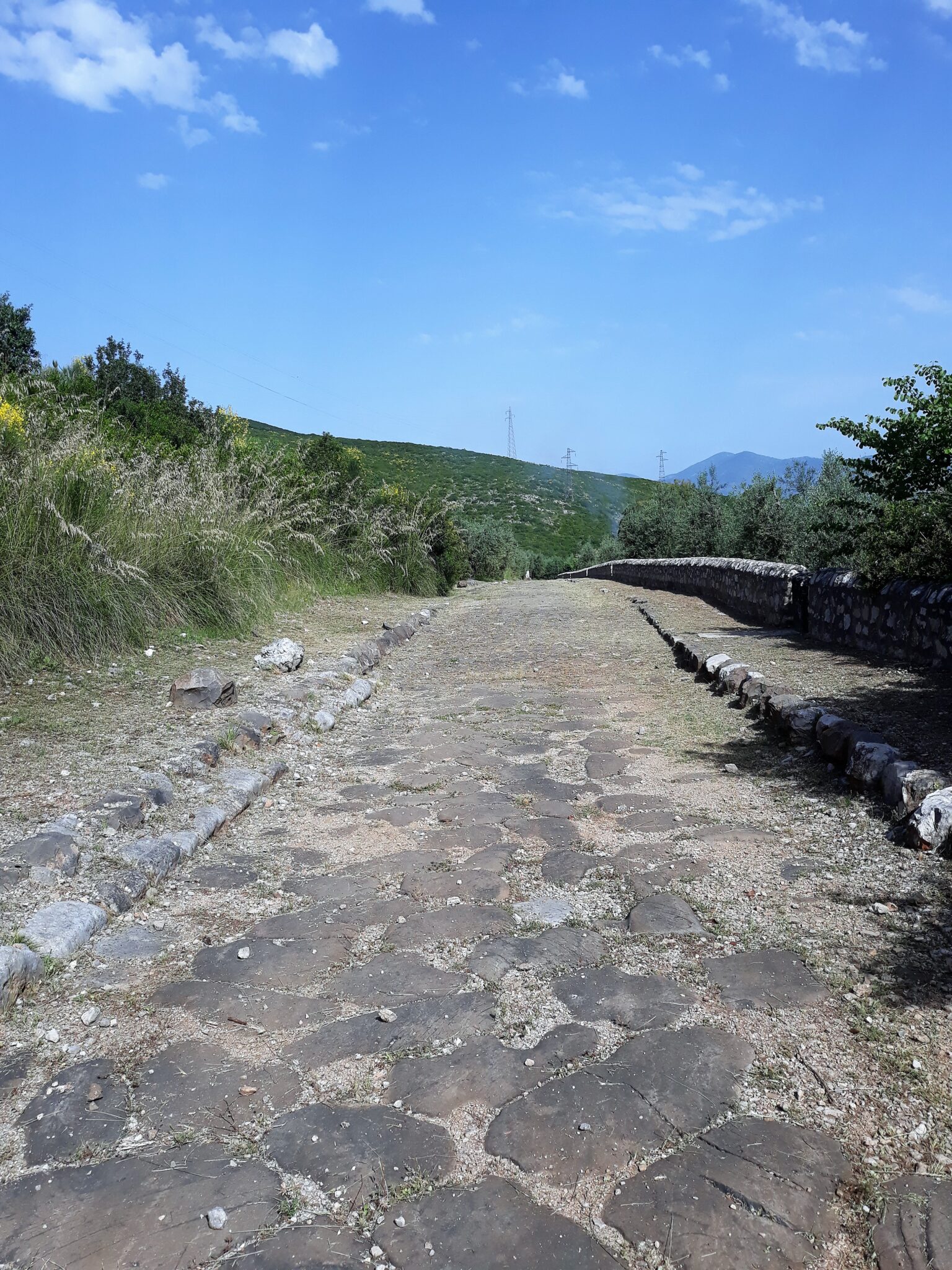
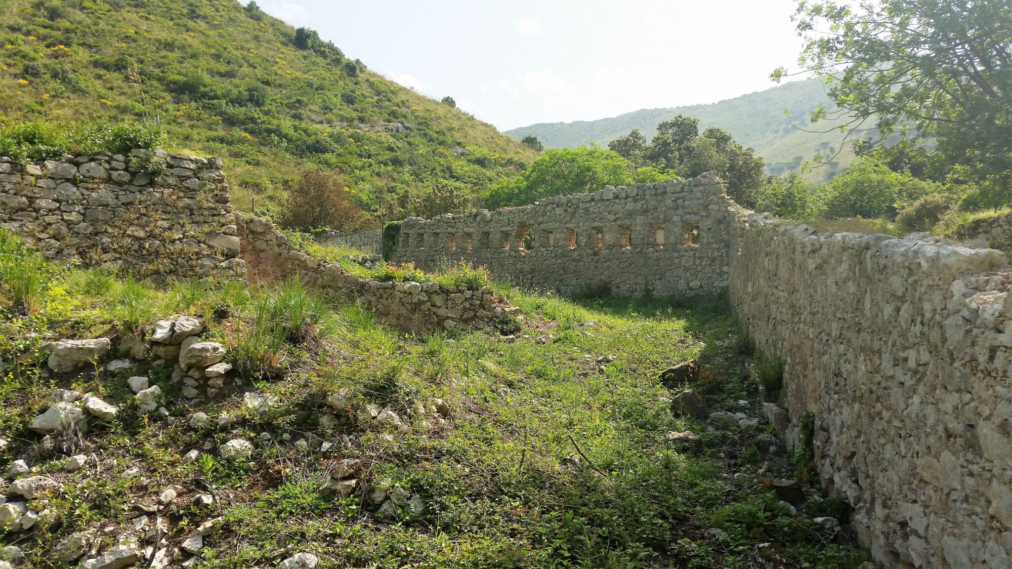
After Fondi the path followed the Via Appia state road for 6 kilometres before branching off to join Via Appia Antica and a 4 kilometre length of well preserved original Roman road. Apart from a passing cyclist I was totally alone, and my thoughts led me first to the Roman legions who would have marched this way nearly 2000 years ago on their way to Brindisi where they would have embarked on boats to take them to Durres in Albania to join the Via Egnatia, and from there a 1000 kilometre march eastwards to Constantinople; secondly to pilgrims who have passed this way during the past 2000 years and walked on these same stones on which I was walking.
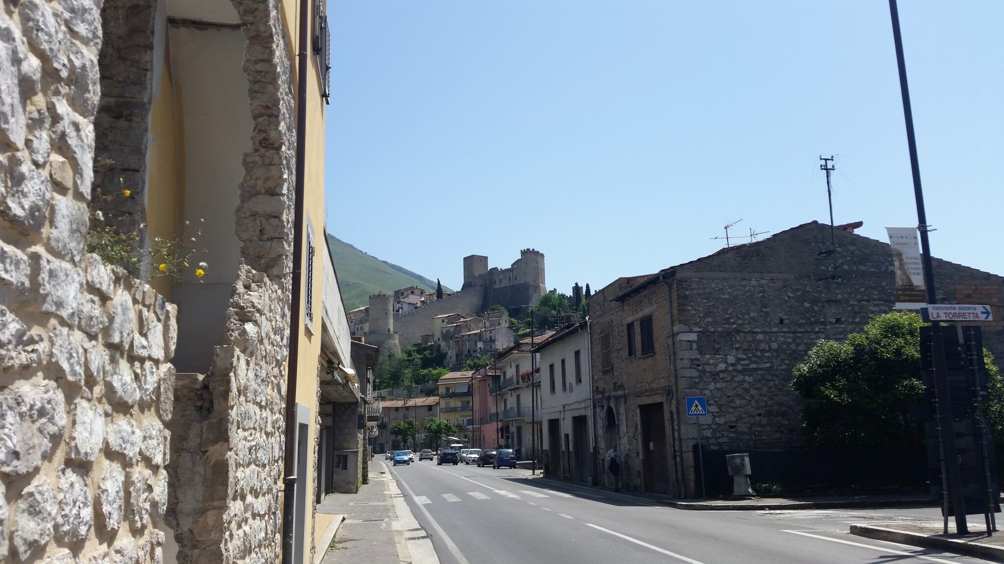
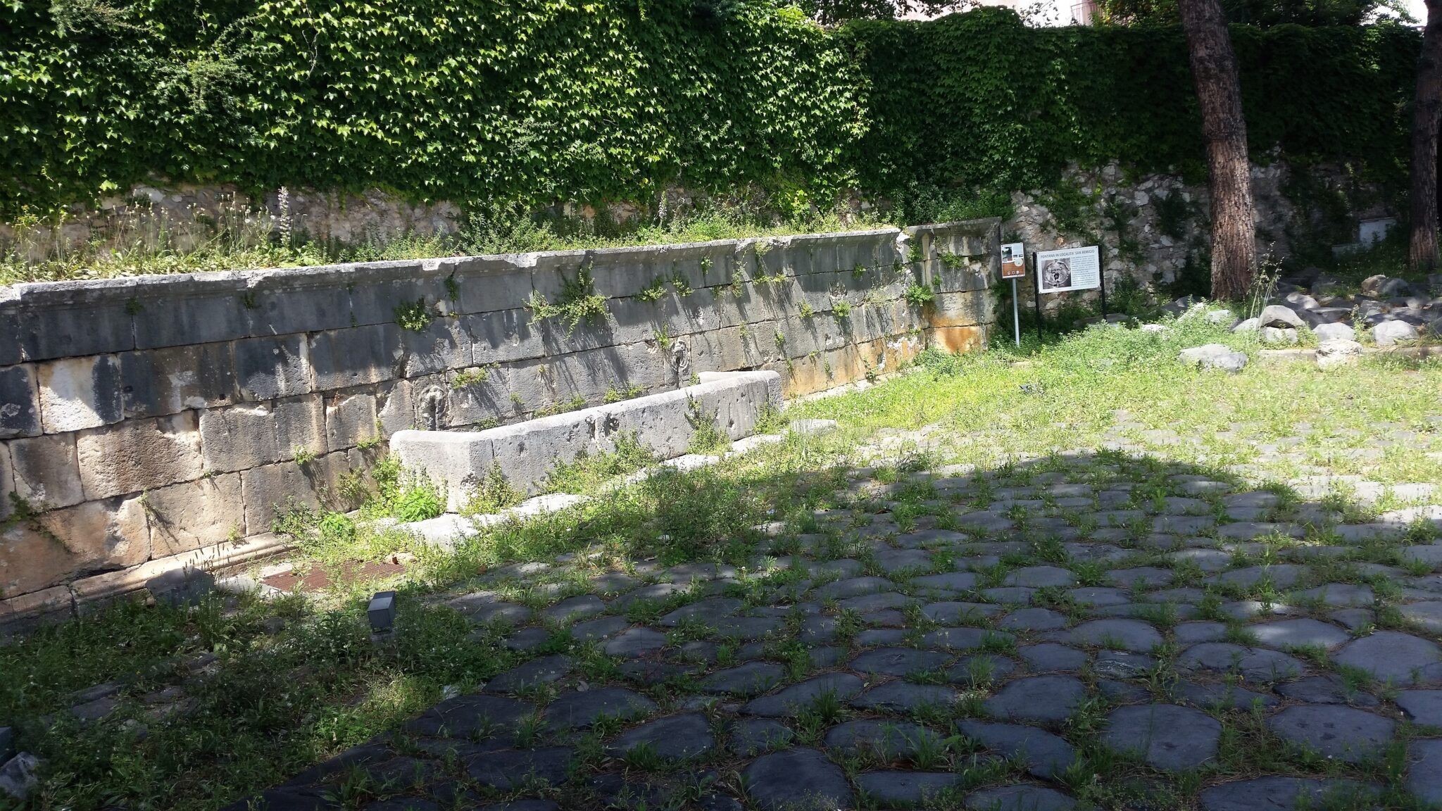
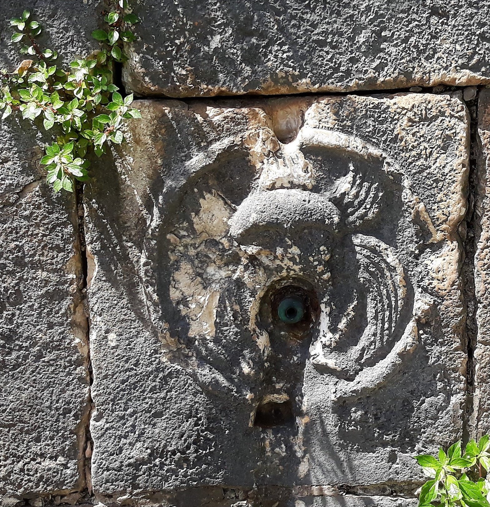
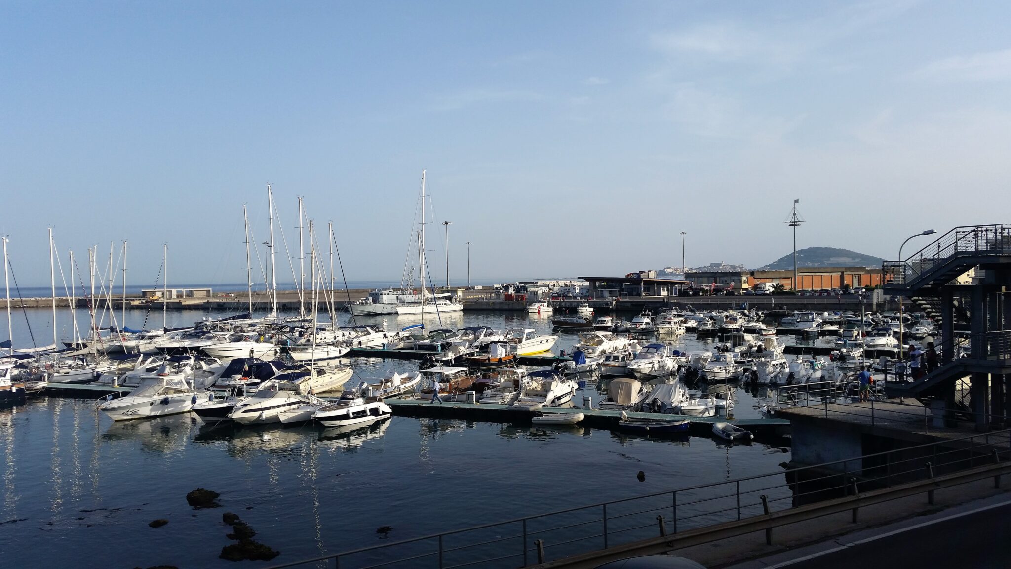
Rejoining the state road the path descended into Itri with its commanding castle. Beyond Itri I continued on the state road to Formia. It was another scorching day that required many cooling down breaks, the final one of which was “The fountain of San Remigio”, a large wall fountain from the Roman era built to give relief and refreshment to travellers and animals. Unfortunately, the water no longer flows so no relief for me. But at that stage I was close to my B&B and the Tyrrhenian Sea.