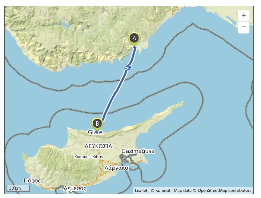
Taşucu to Girne (Kyrenia) – 16th October
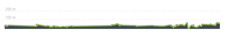
Distance: 126.0 km – Elevation +510 m -480 m
Weather: Sunny. Temperature: High 33 degrees
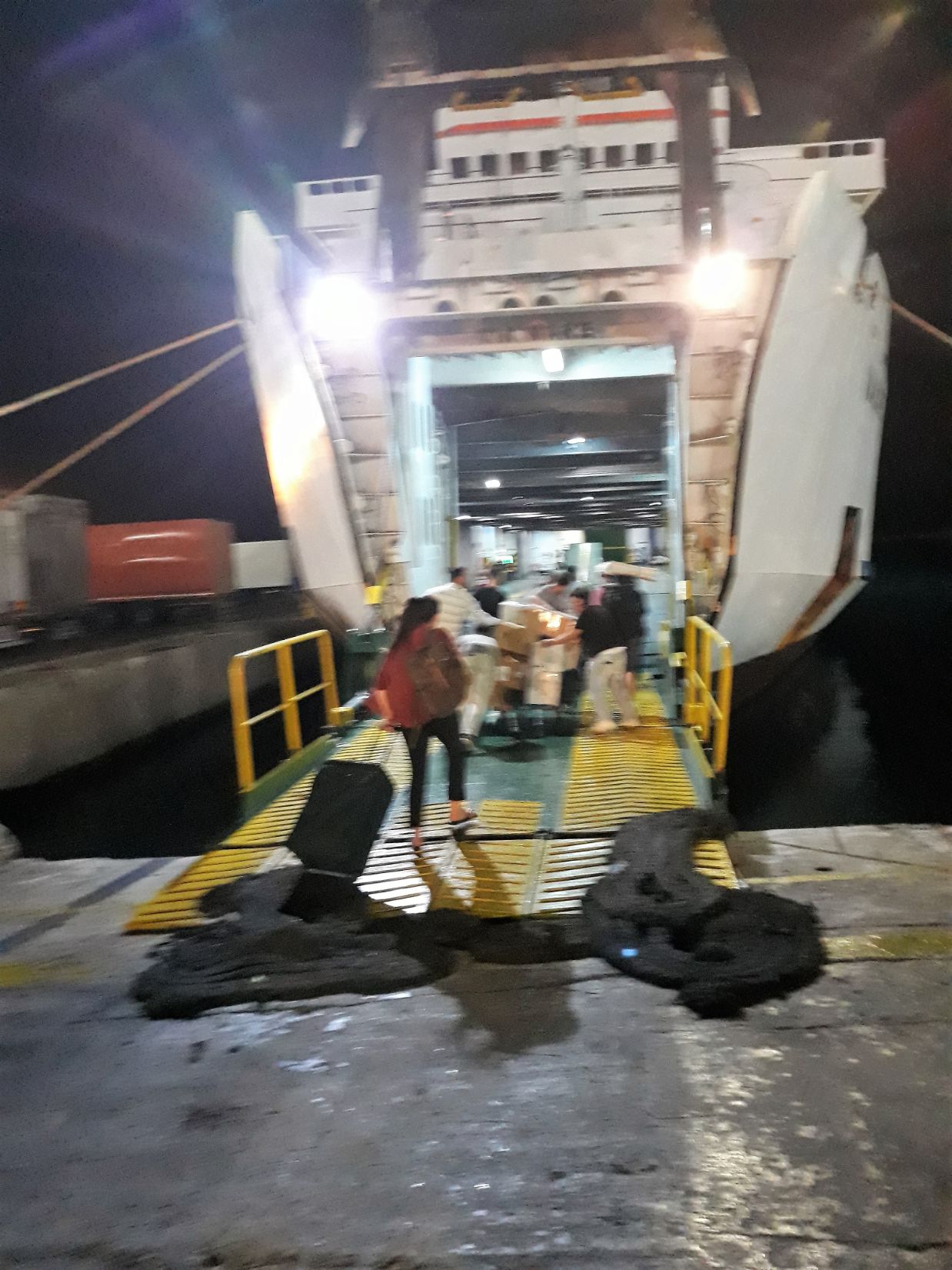
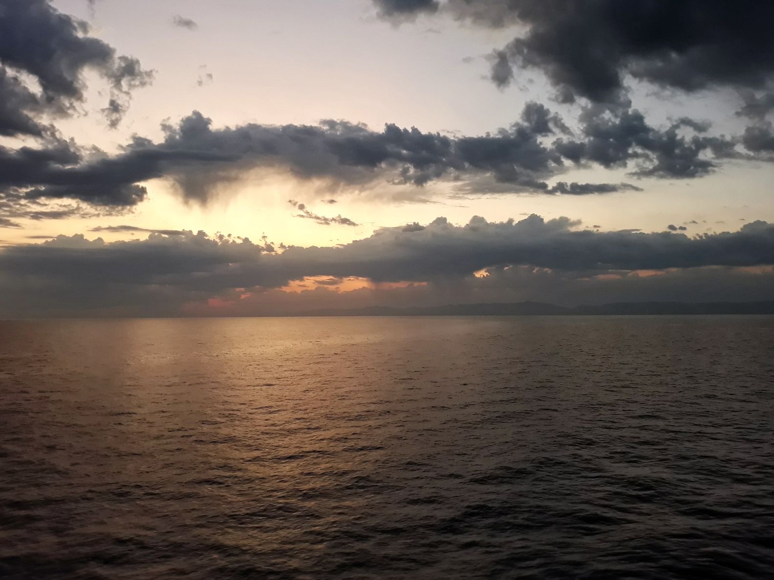
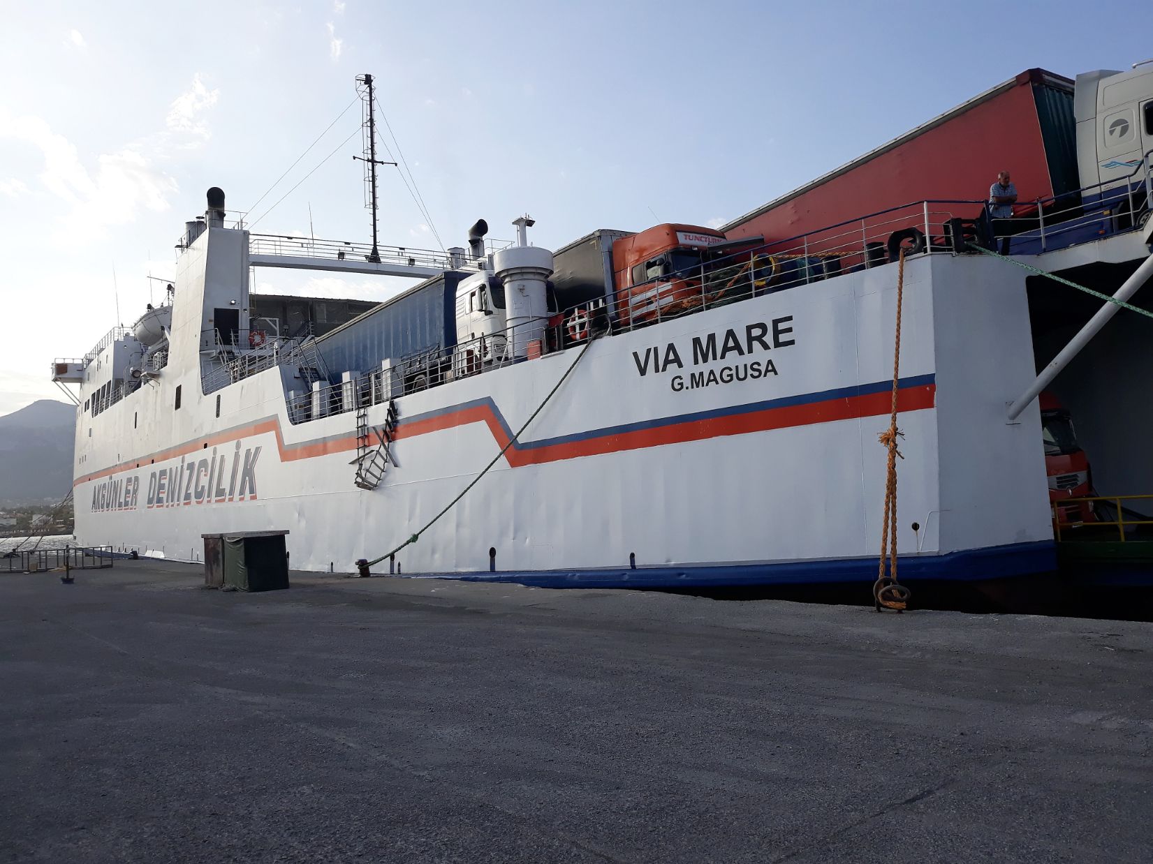
The ferry was the Via Mare, a RoRo / Passenger ship. It had originally been built in 1976 for P&O Ferries to ply the ferry route from Dover to Calais. I made several trips across the English Channel around that time and, although I have no specific recollection of having done so, I may well have travelled on this ship before. It has a capacity for over 400 passengers but on the crossing this evening there were fewer than 100 passengers so there was plenty of room to spread oneself in an attempt to sleep. Onboard drinks and snacks were available at a small bar. I drifted into periods of fitful sleep but mainly spent the night just sitting and watching. I never find travelling on night ferries comfortable, air conditioning is always present making the environment rather cold and unwelcoming. So I was pleased to see dawn arrive bringing with it the break of a new day.
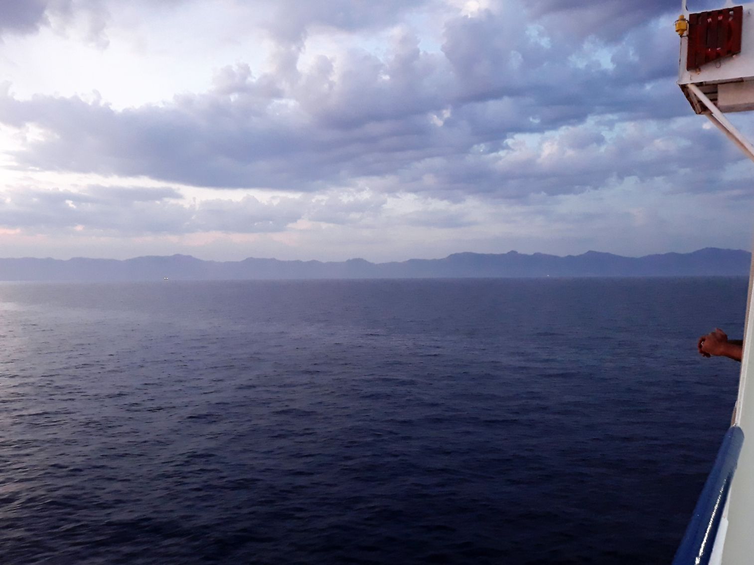
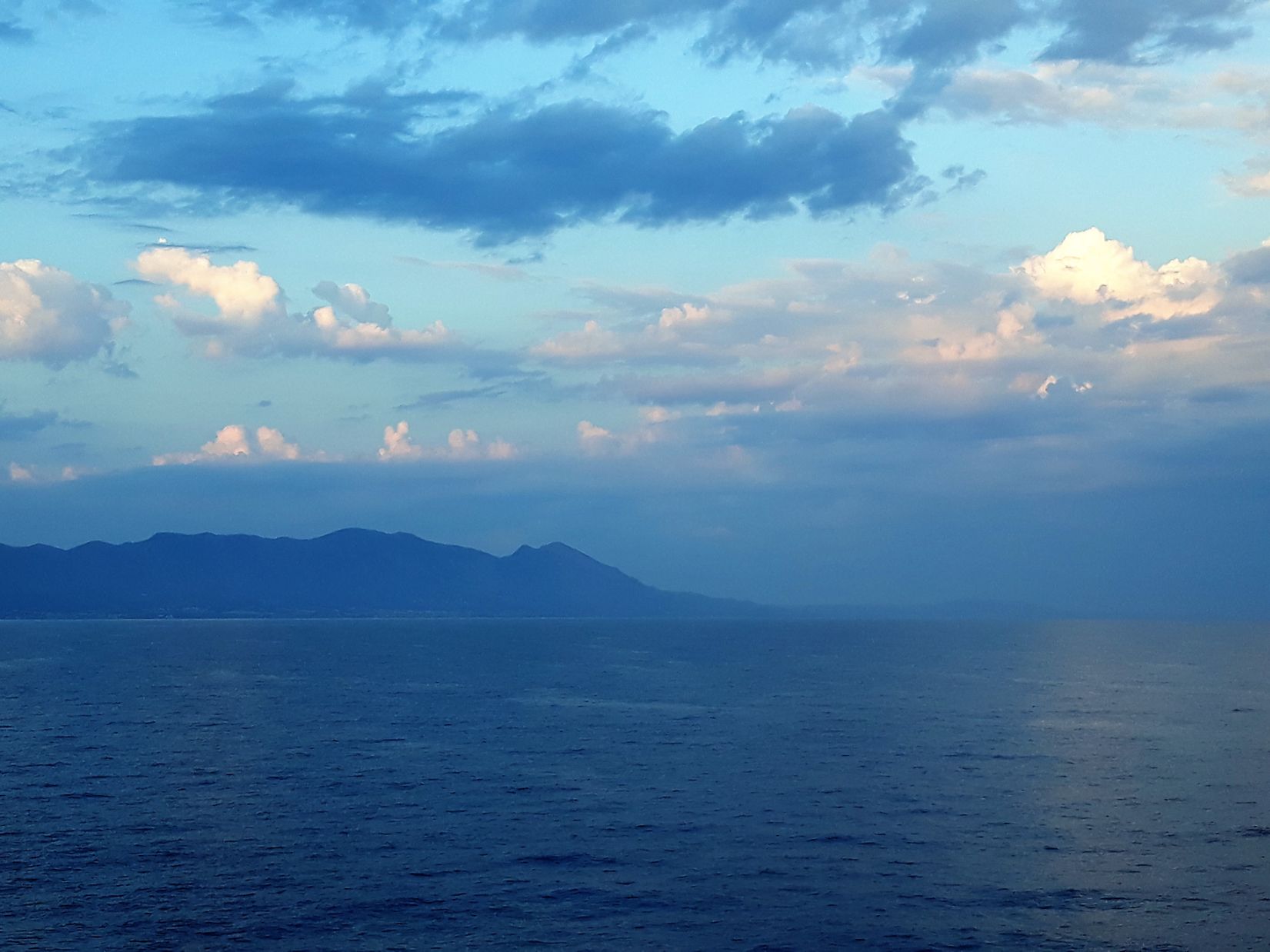
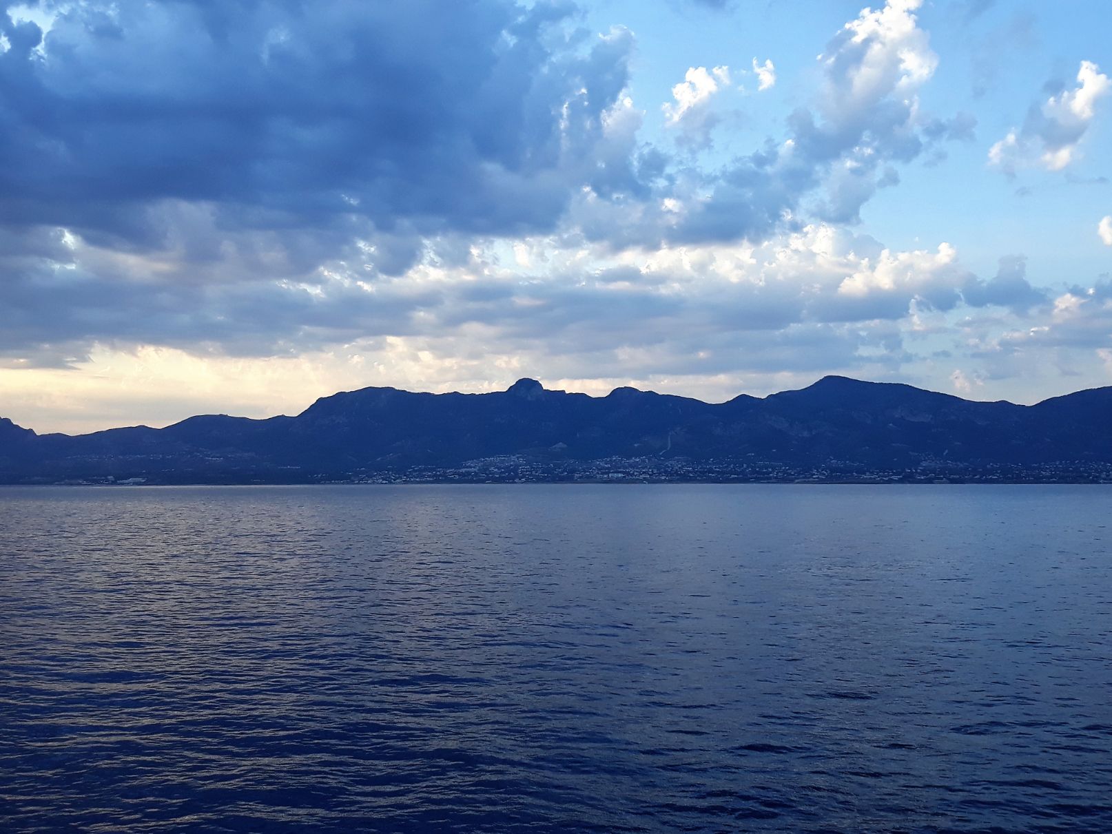
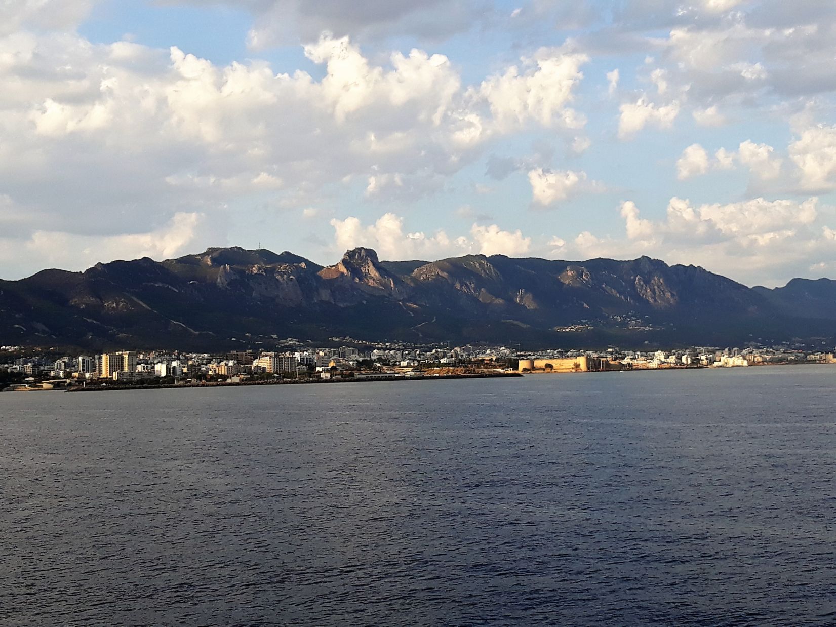
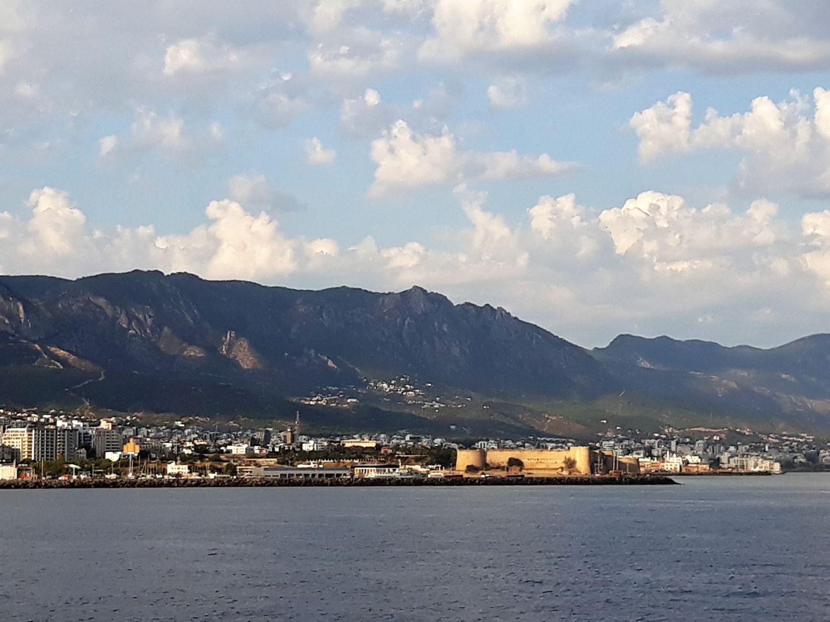
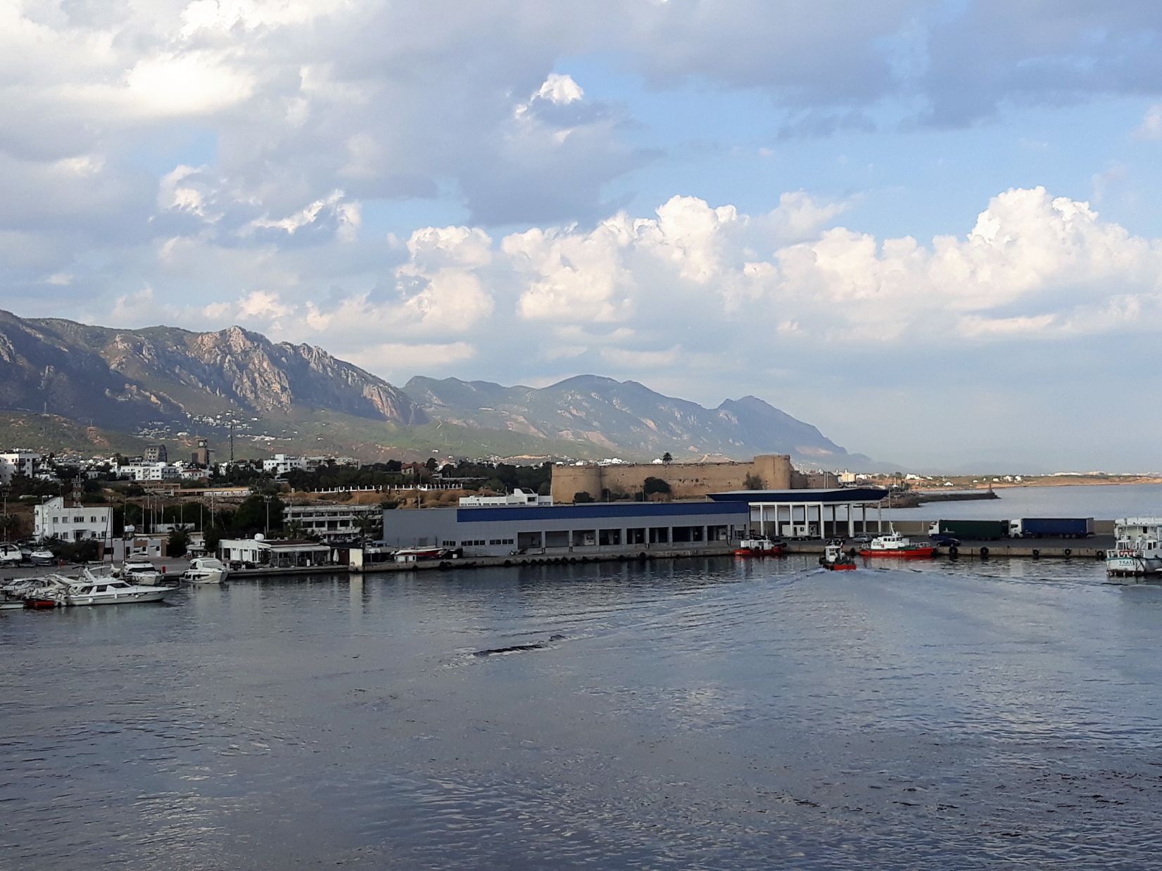
It was around 6.30 am when I caught my first sighting of Cyprus. I had been looking forward to the sunrise but there was cloud cover so the view ahead provided a vista of layers in shades of blue, each layer clearly defined, a dark blue sea, a light blue outline of the island and an even lighter blue sky. It would be another hour before the coastline became clearer and I could begin to see the houses of Kyrenia and the Kyrenia mountains behind, and another 30 minutes before Kyrenia Castle came into view.
Cyprus is a divided country and I was aware that problems may occur in my journey across the Island from North to South. After gaining independence in 1960 a series of differences between the aspirations of Greek and Turkish Cypriots resulted in the invasion of the Island by Turkey in 1974. Ostensibly the invasion was to protect the lives of the Turkish Cypriots but in fact, the result was a lasting partition of the Island. In 1983 the north unilaterally declared independence creating the Turkish Republic of Northern Cyprus, recognized only by Turkey. There is a United Nations controlled buffer zone between the north and the south and in Nicosia, I would pass through one of these checkpoints on my journey from Kyrenia to Larnaca.
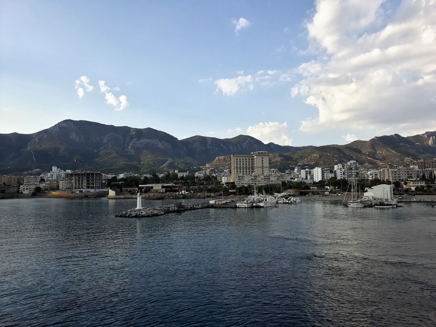
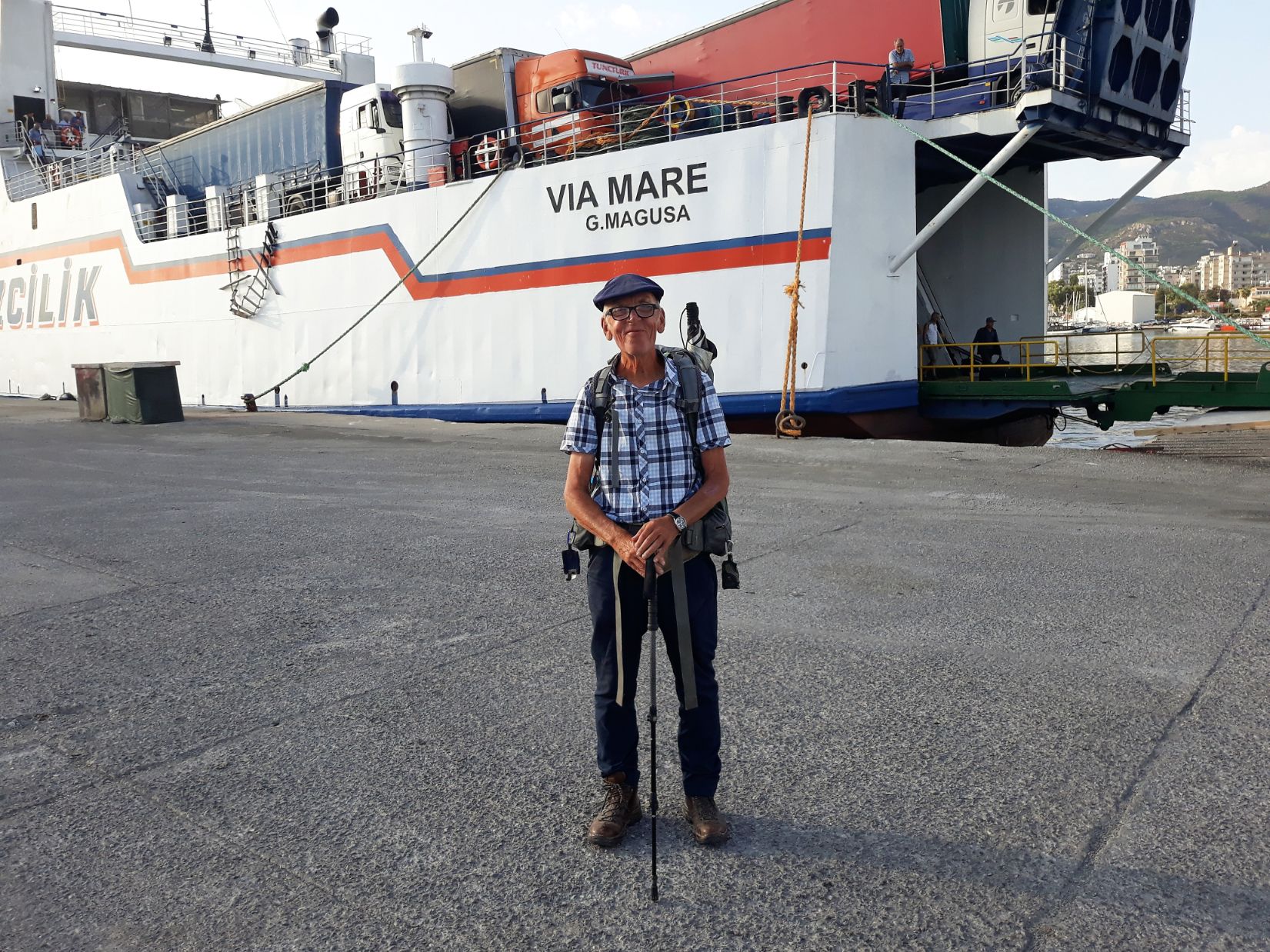
The ferry docked at 8.30 am and as I was making my way to leave the boat I met Nelly. Nelly was German and was now living in Antalya and was visiting Cyprus for visa reasons. As we left the boat we chatted and I told her I was walking to Jerusalem and I was staying for two nights in a hostel on the outskirts of Kyrenia. She said she had nowhere to stay and asked if she could join me on the walk to the hostel. It was a 2 kilometre walk to the Sun Ray Hostel and Nelly booked in to stay for two nights and we had three enjoyable days together exploring Northern Cyprus.
It was a warm sunny day with large puffy white clouds floating above the mountain peaks and after enjoying lunch in a nearby restaurant, the Alesta Kebap House, we took a taxi to visit the delightful village of Bellapais. Lawrence Durrell lived in the village in the 1950s. and wrote “Bitter Lemons of Cyprus” about his life here in Northern Cyprus. The village is also the location of the Bellapais Abbey with its commanding view of Kyrenia and the Mediterranean sea. Once the home of the Canons Regular who had been the custodians of the Church of the Holy Sepulchre in Jerusalem, and had fled Jerusalem after its fall in 1187 to Saladin, it passed into the hands of the White Canons (Norbertines) until Kyrenia was occupied by the Ottomans who passed the Monastery to the Greek Orthodox Church and the monastery fell into a state of disrepair. Today the monastery is used for concerts and exhibitions. After a long and interesting day, an early night beckoned on the return to the hostel.