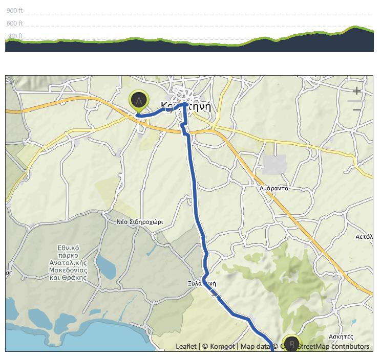
Komotini to Maroneia – August 18th
Distance: 35.2 km – Elevation +430 m -270 m
Weather: Sunny. Temperature: High 29 degrees
After yesterday’s marathon, I decided to leave later this morning and set off around 8.15 am after a good breakfast. My original plan was to walk in the direction of Alexandroupolì on the Sapi road, but after talking to the desk man at the hotel who said there was no accommodation on that road at all, and at his suggestion, I headed south to Maroneia. It was another 20 plus mile walk with some hilly sections in the later stages.
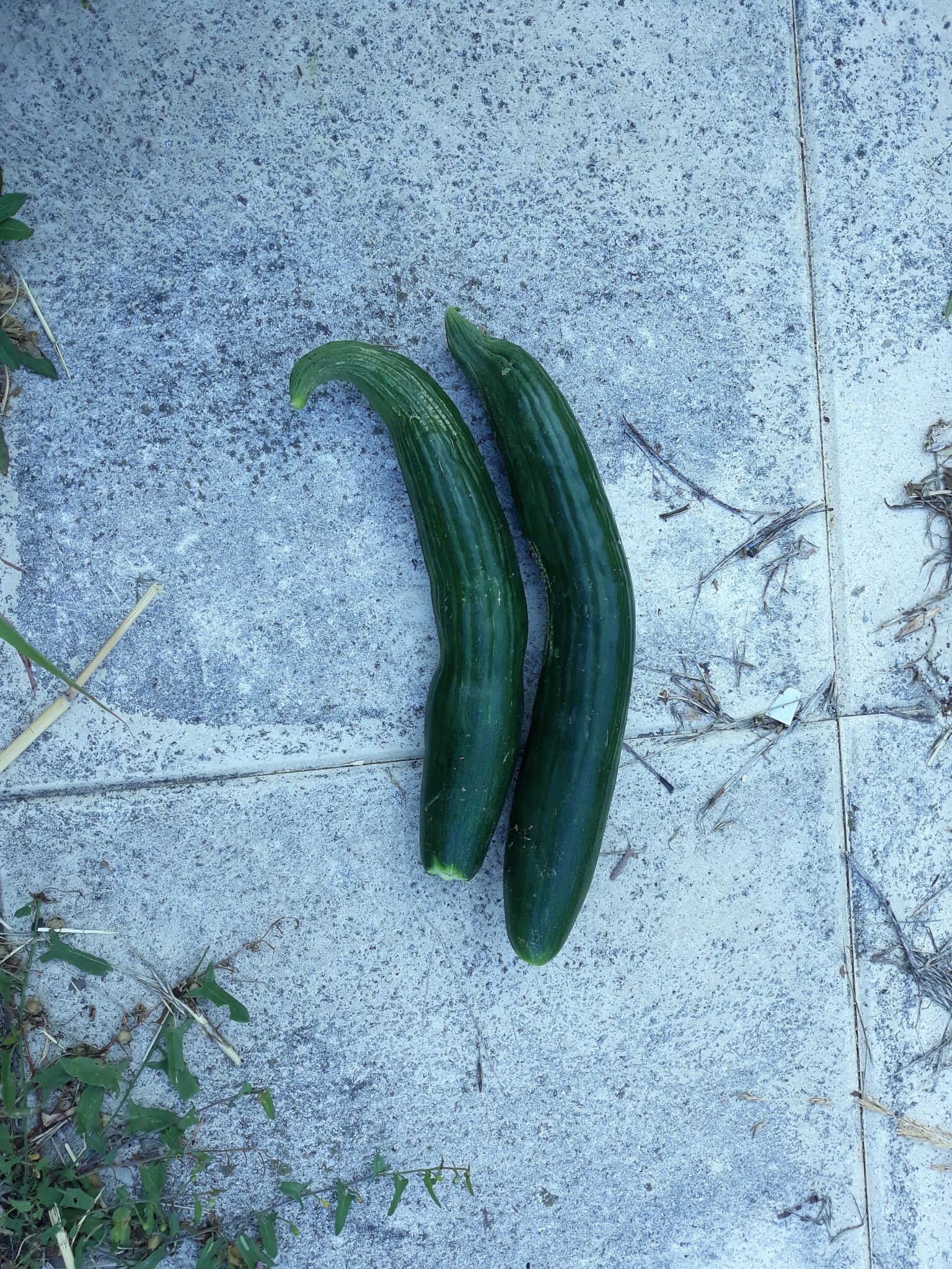
The hotel was situated about 4 kilometres from the town centre and as I followed a very quiet road on a Sunday morning I was passed by an elderly gentleman riding an equally elderly bicycle who stopped and gave me the only two cucumbers in the bicycle’s basket! – a wonderful moment of kindness and generosity.
I needed to get some cash so as soon as I reached the town centre I headed for the nearest ATM. I have a golden rule when away from home in strange lands and that is not to use ATM’s when the bank is closed and this being Sunday all banks were closed. But I needed cash so the rule needed to be broken. I found an ATM and inserted my card and normally I am given the choice of languages, this time it was all in Greek and I pressed the wrong button and the machine refused to return my card. A nearby cafe owner saw my predicament and kindly rang the bank who said there was nothing they could do and said I should ring my own bank. Fortunately, it was not the only card I had with me and later I found an ATM that provided an English option.
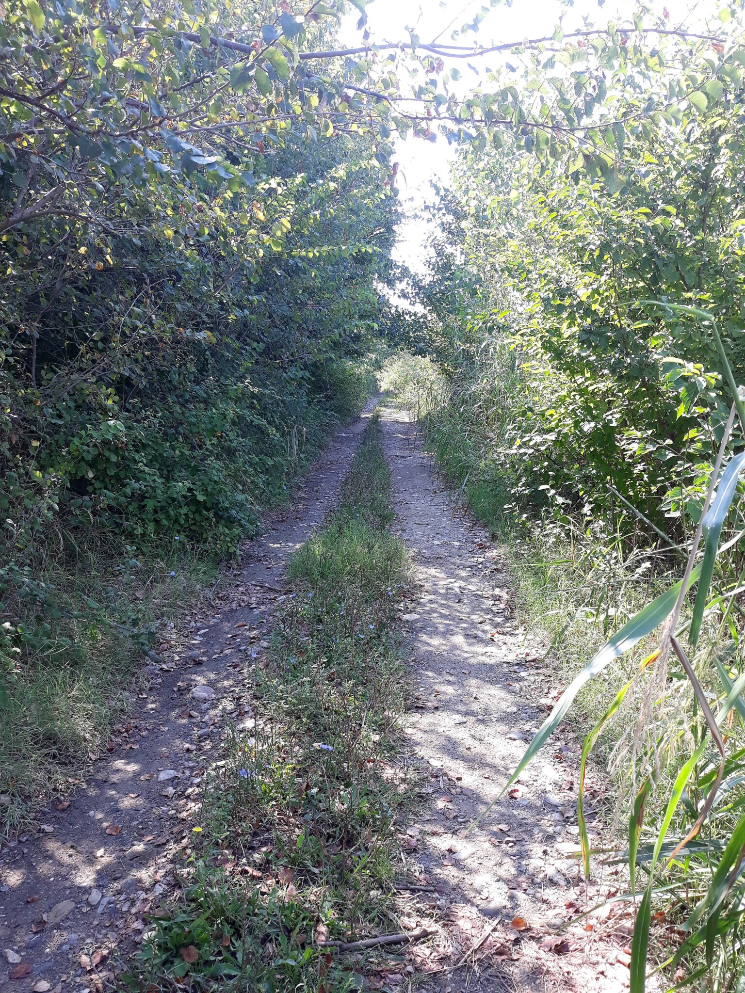
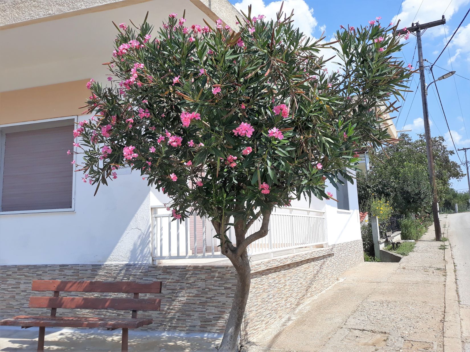
The walk out of Komotini was a mixture of back streets and tracks and led me to the village of Kosmio where I experienced another moment of kindness. A moped with heavily laden panniers passed by on the other side of the road and stopped and the rider called me over. He spoke good English and asked about my journey and he told me he enjoyed hiking and gave me advice on hiking trails near Maroneia. I thanked him and as I was about to leave he dug deep into one of the panniers and produced a very welcome ice cream!
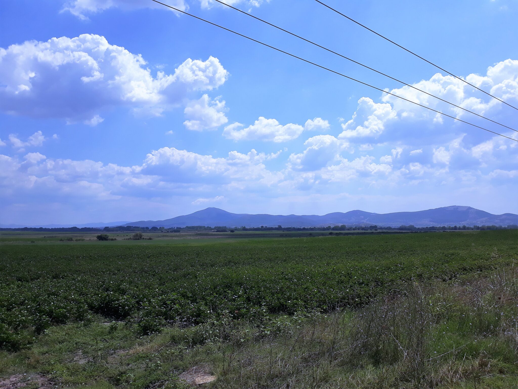
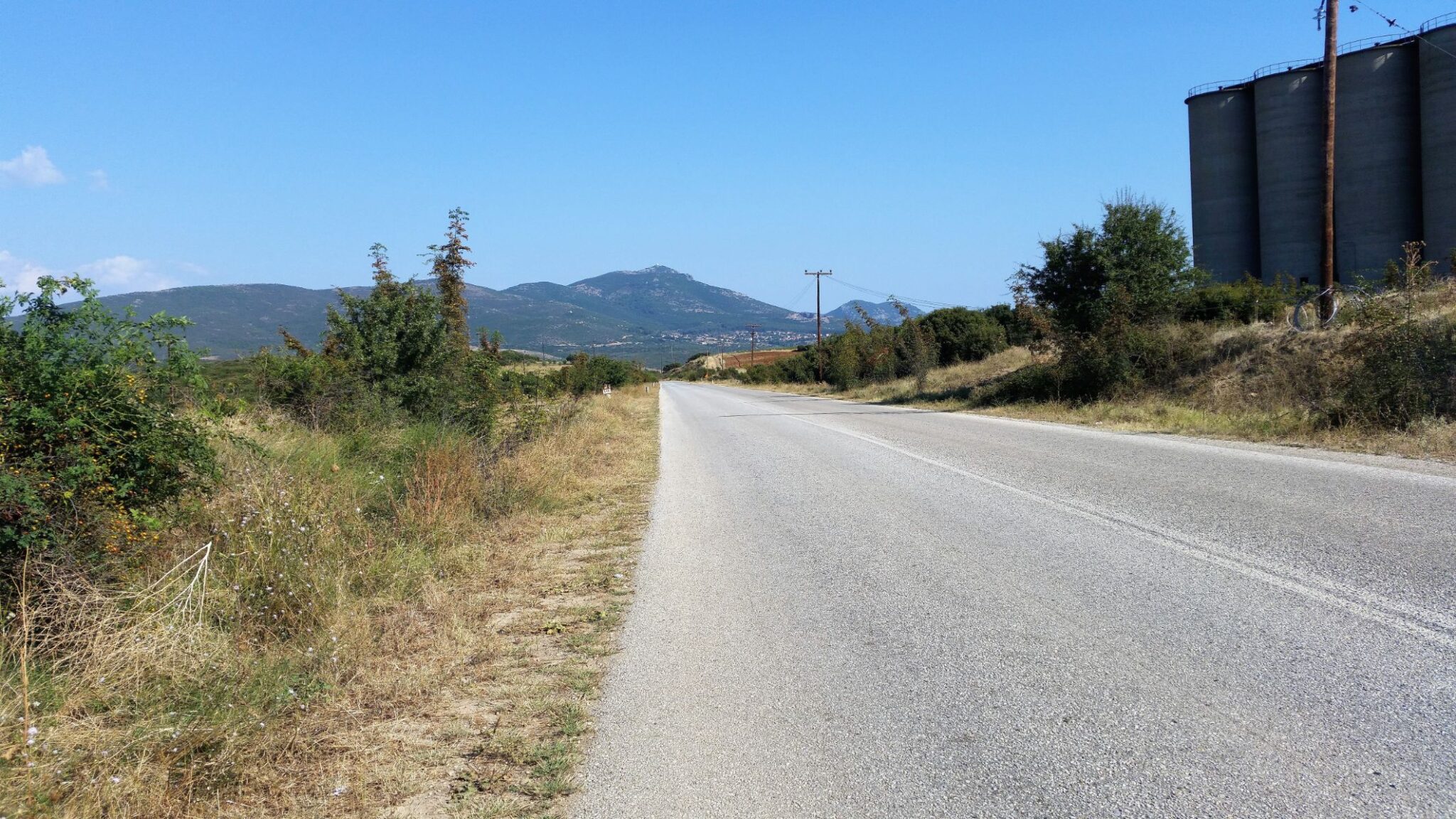
The road was long, straight and flat with very little traffic, the weather was kind with a light breeze and occasional cloud cover, and there were several filling stations where I was able to replenish my water supply and buy sandwiches for lunch. After about 20 kilometres I came to the village of Xilaganí where I sat on a bench beneath the shade of a beautiful flowering tree and spoke with my bank to arrange the cancellation of my lost credit card and to arrange a replacement.
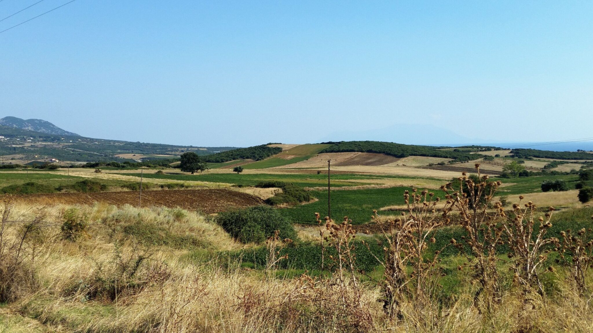
The road out of Xilagani led me to the village of Proskinites and on the way, a young couple stopped their car and gave me two bottles of cold drinks, the third act of kindness on this day. It was a beautiful afternoon with distant views of Mount Ismaros. With about 6 kilometres left of the days’ journey the terrain became more hilly and I was able to see the sea again. A final stiff climb to the village of Maroneia, on an off-road track, took me past the first house in the village where I was enthusiastically greeted by a very happy middle-aged woman and when she learnt that I was on my way to Jerusalem she called for her teenage daughter and son to come and meet me – it was a very happy moment at the near end of another wonderful day.
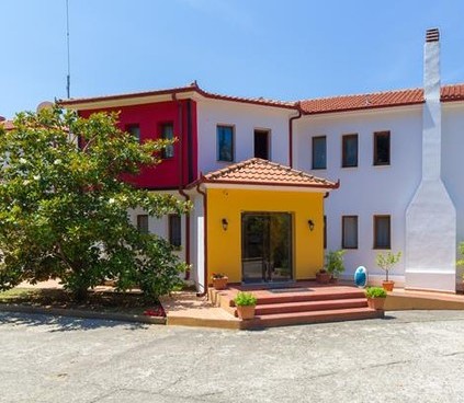
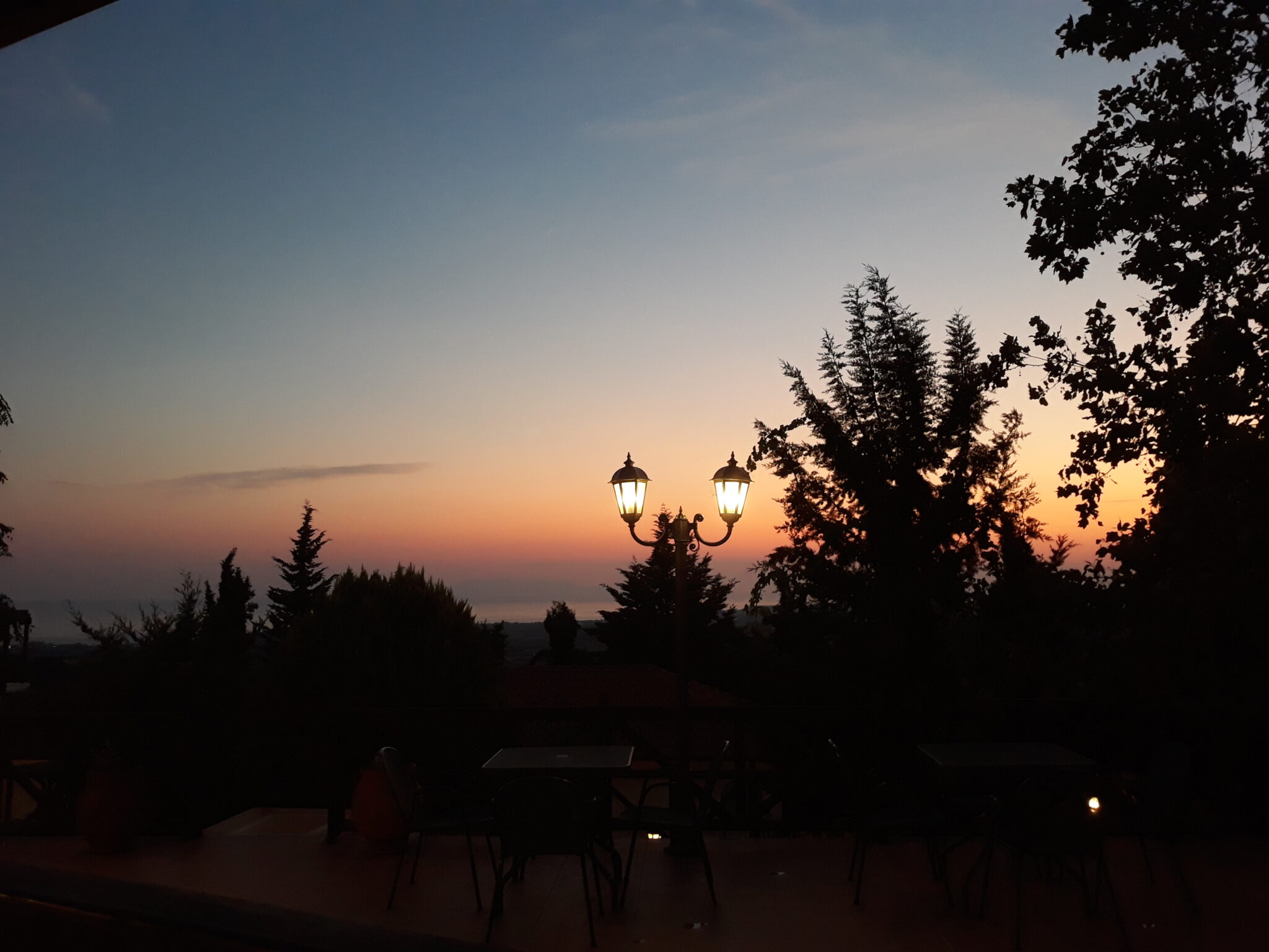
It was 7.00 pm when I arrived at the FilosXenia Roxani Country House Hotel in which I had previously arranged to stay. The reception and dining area were separate from the rooms which were comfortable and functional. I dined on the terrace of the hotel restaurant with views of the sea and watched the sunset creating glorious shades of golds and reds as it disappeared below the distant horizon. A fitting end I thought to another long but special day.