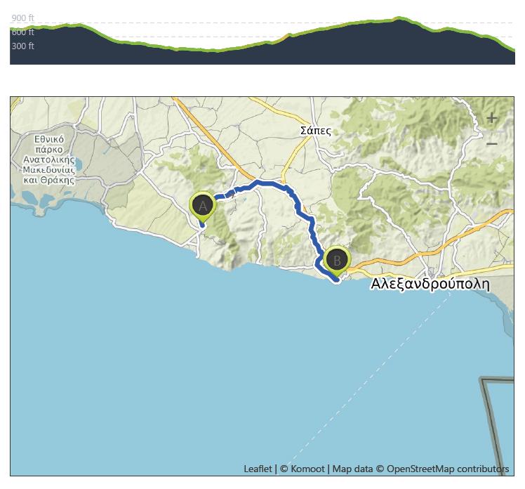
Maroneia to Agia Paraskevi – August 19th
Distance: 33.6 km – Elevation +340 m -530 m
Weather: Sunny. Temperature: High 32 degrees
Maroneia now a village with a population of 7000 was once the largest Greek colony in Western Thrace. It was first built on the slopes of Mount Ismaros in the mid-7th century BC. Maroneia is associated with the ancient city of Ismaros mentioned by Homer in the Odyssey. In the story, Odysseus plunders the city and attacks its inhabitants, the Cicones. He spares Maron, a priest of Apollo and in thanks, Maron presents Odysseus with gifts including a very strong black wine which he later uses to lull the Cyclops Polyphemus to sleep.
My walk today was not as originally planned. I had intended to take the coastal path through the forested area but in a conversation I had last evening with my host and another local man, I was told it was a dangerous way! “why” I asked ” animals” came the reply “what animals?” “wolves and jackals” came the response. An explanation followed of how a British women hiker had been killed by rabid wolves two years ago.
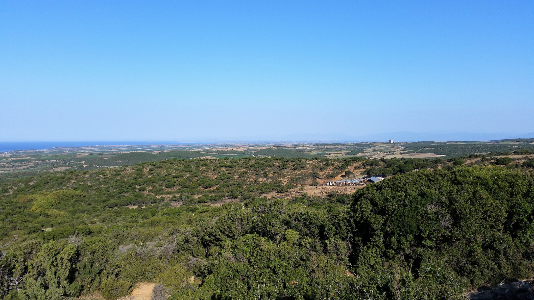
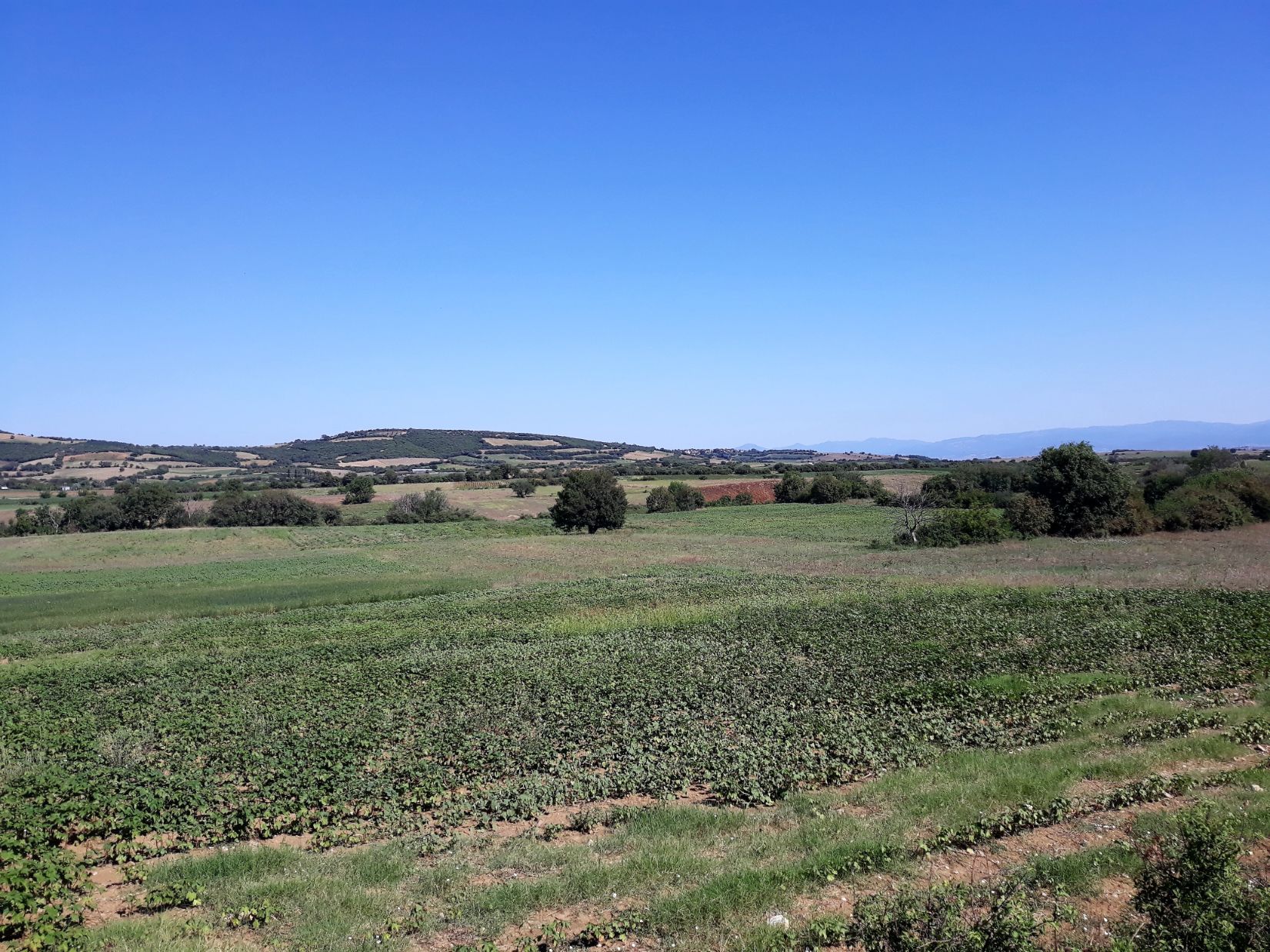
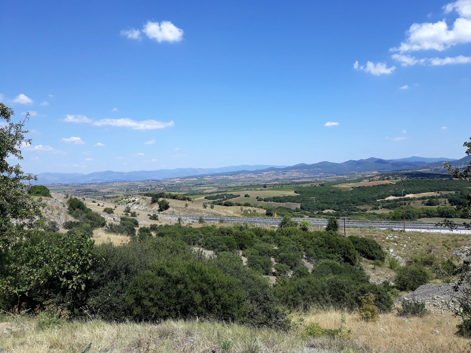
So deferring to local knowledge and a little discretion I revised my route. It would be 6 kilometres longer but hopefully safer. So after a good breakfast, I set out for today’s destination of Agia Paraskevi at 8.15 am. It was a beautiful clear morning with cloudless blue skies and my new route took me along a gently climbing and quiet mountain road that ran through the foothills of Mount Ismaros providing wonderful views out across the Maroneia plains to the azure blue of the Thracian Sea.
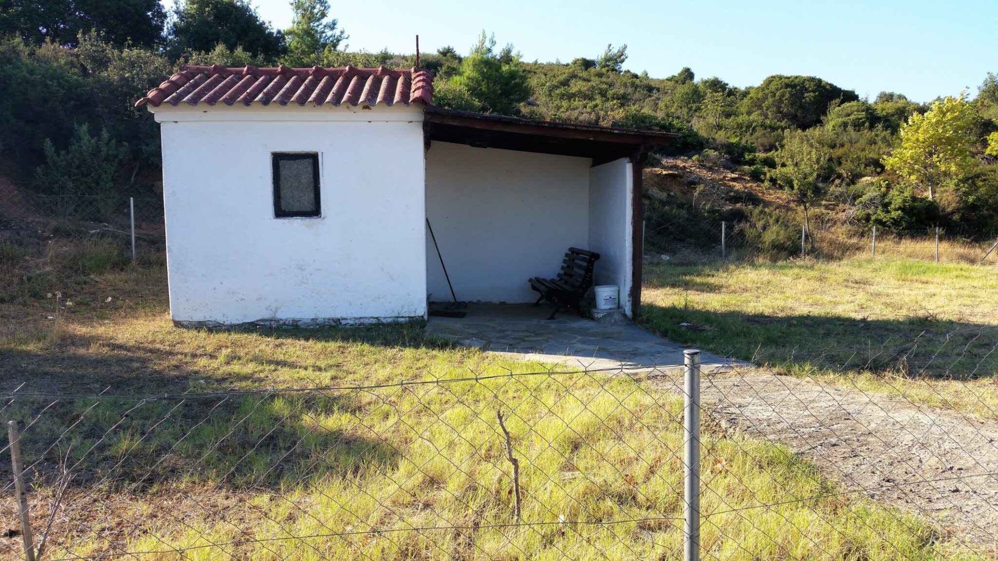
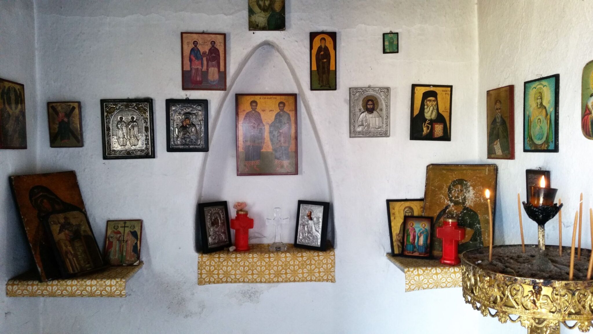
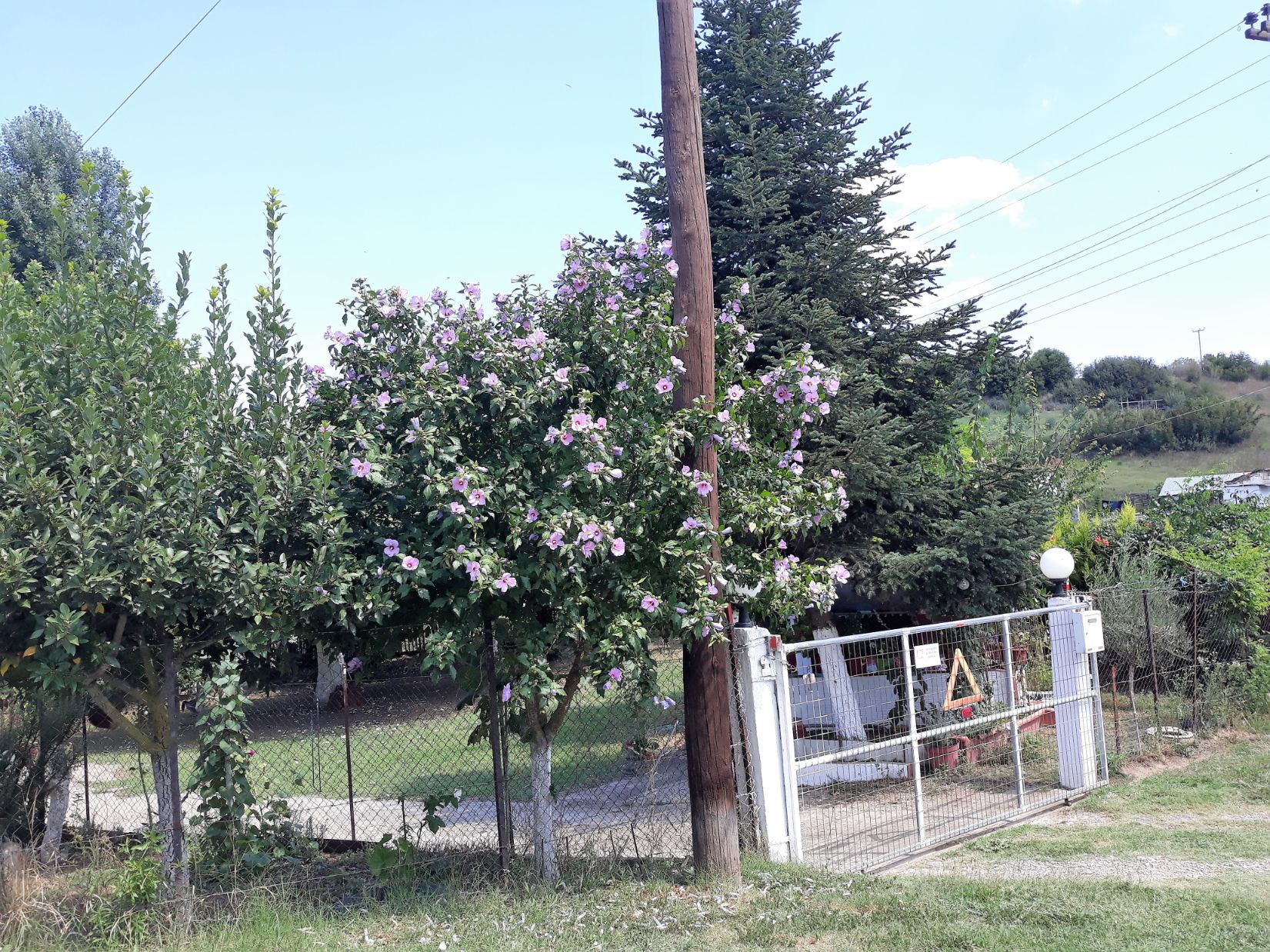
I came to a tiny roadside chapel dedicated to the Saints Anargyroi – “These twin brother saints lived in the third century and were physicians who refused monetary payment for their services. Anargyroi literally means “without silver” and is a reference to this practice. They did their work in Asia Minor and their strong faith put them at odds with the prevailing paganism of the Roman Empire under Diocletian, a ferocious persecutor of Christianity. Cosmas and Damian ultimately were tortured and beheaded for their refusal to renounce Christianity, and have been venerated as saints ever since. There have even been other twins through the centuries named after our patrons who followed them in their good works and have been recognized as saints.”
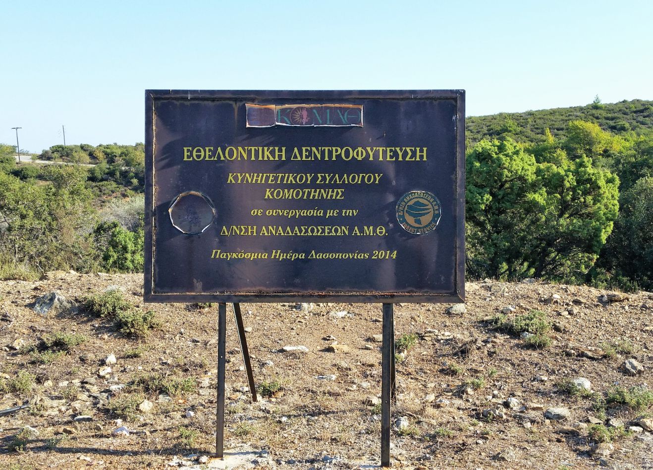
A large sign indicated the Hunting Association Komotini was involved with a forest regeneration programme and another sign indicated the route of the European Path E6 through the Orgomeno Forest. Around 5 kilometres into the day’s walk the road started a descent into the village of Krovili and headed towards the main Egnatia Odos road. From there it ran parallel with the main road and started to climb again through the village of Mestri.
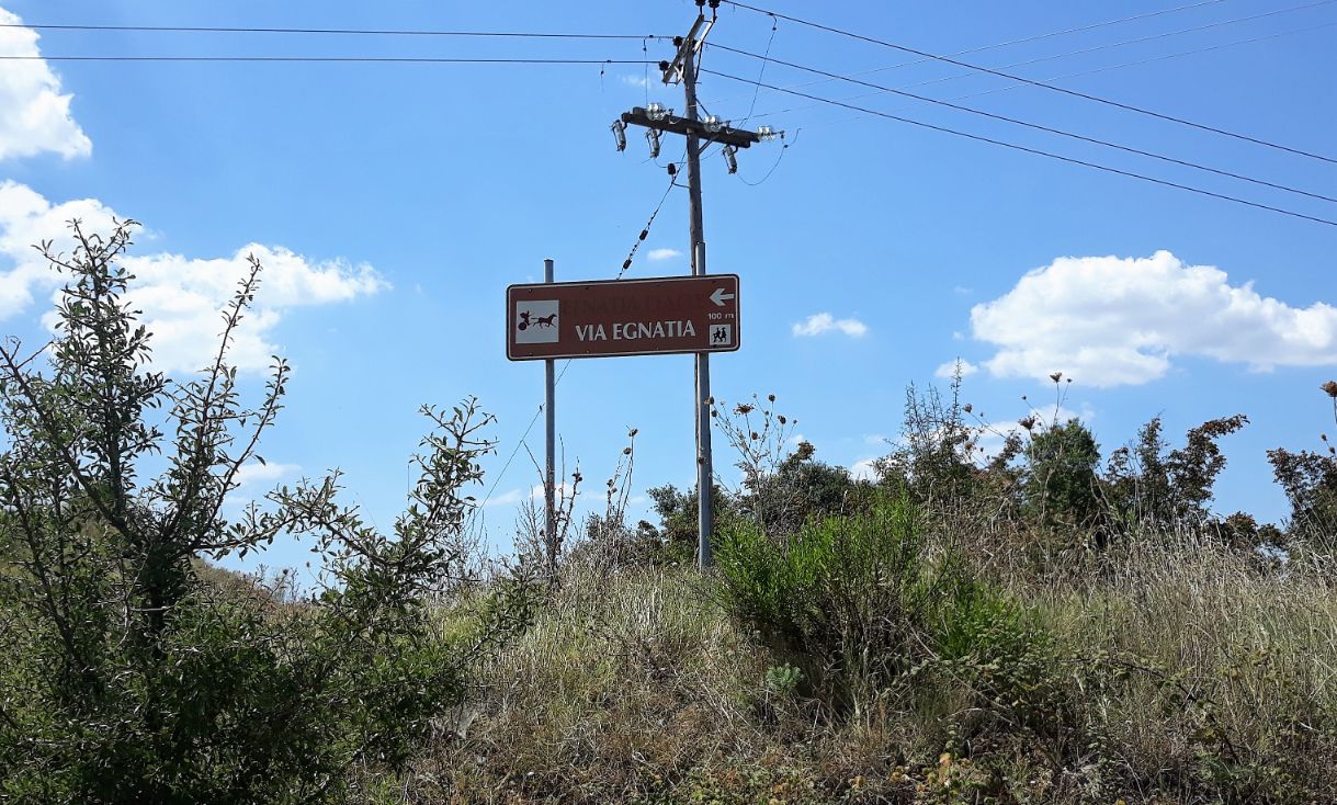
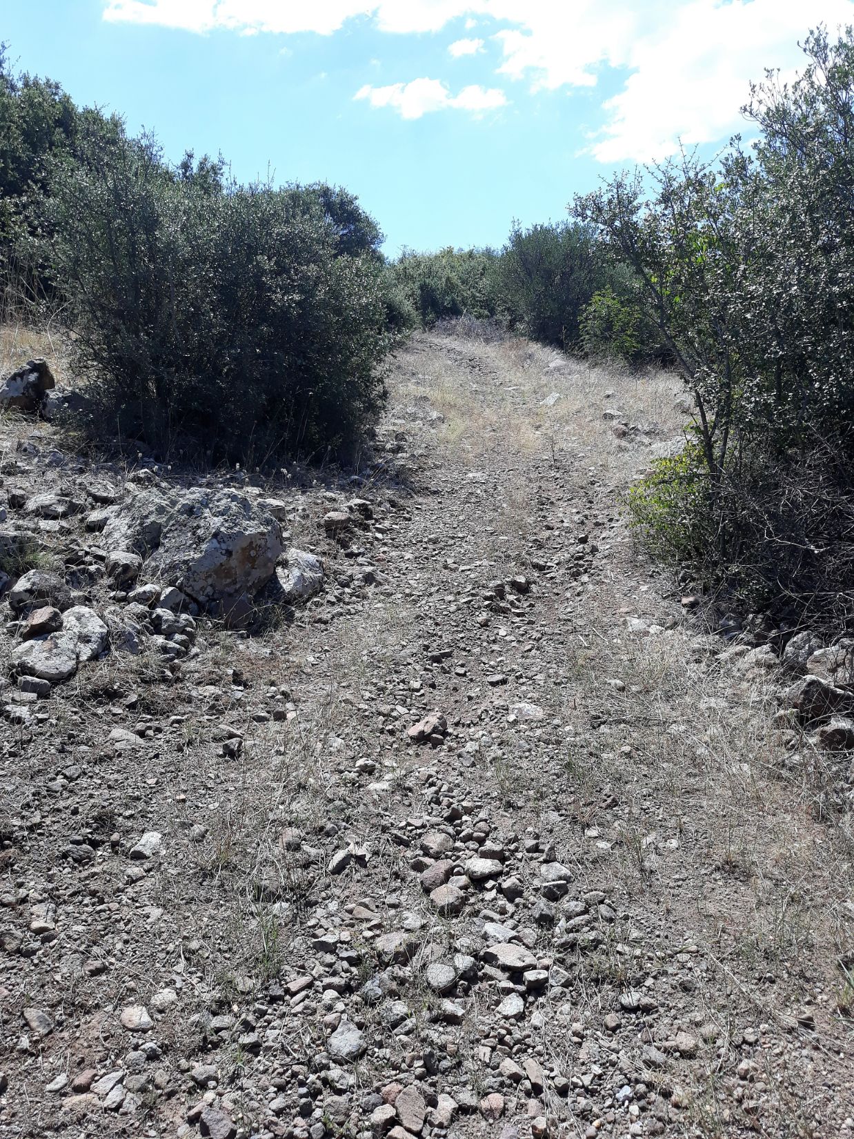
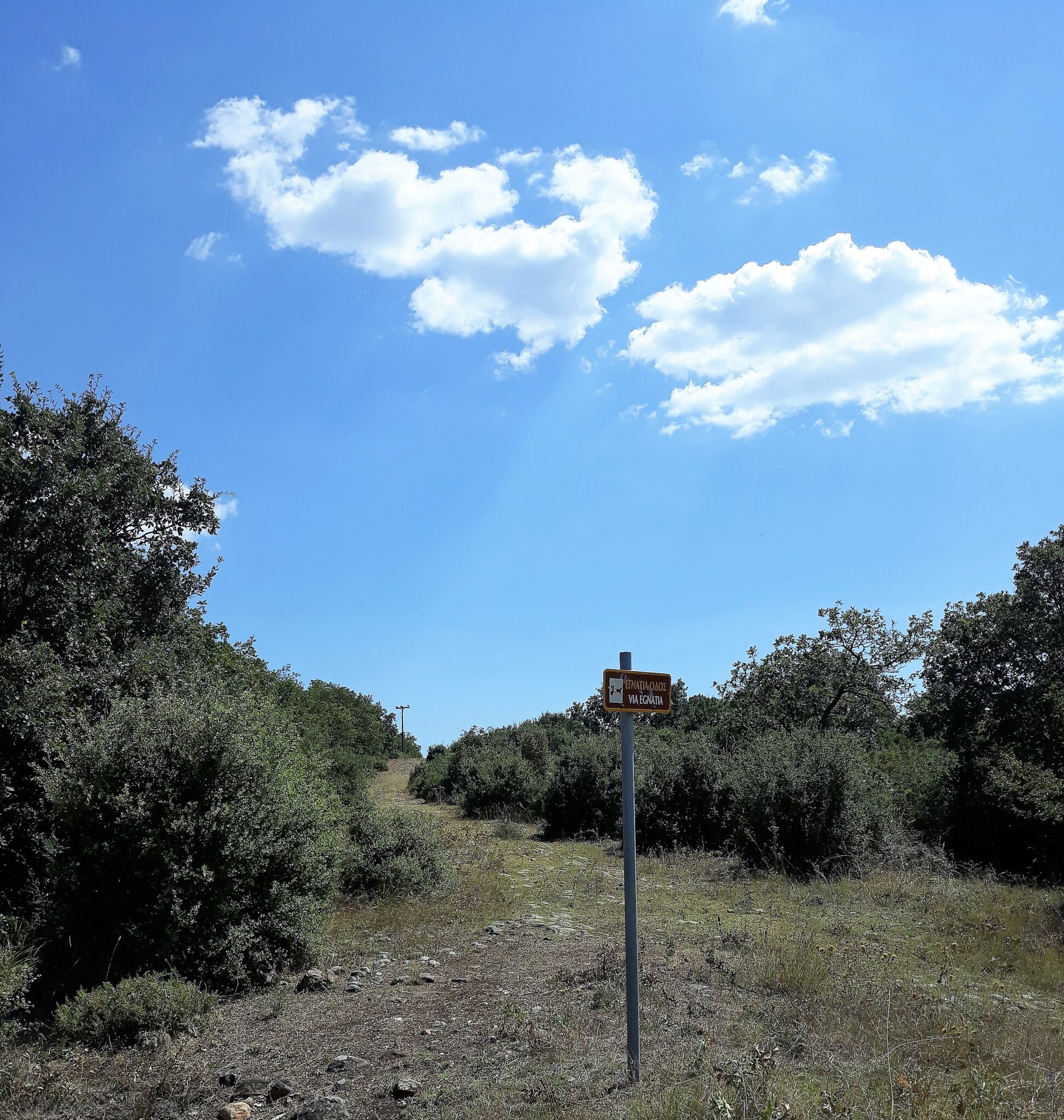
From Mestri as the road continued to climb and for a distance of close to 5 kilometres there were regular signs indicating the location of the original route of the ancient Via Egnatia. Walking on a section of the ancient road I looked across the distant plains below and wondered what thoughts were passing through the minds of those who had passed this way close to 2000 years ago.
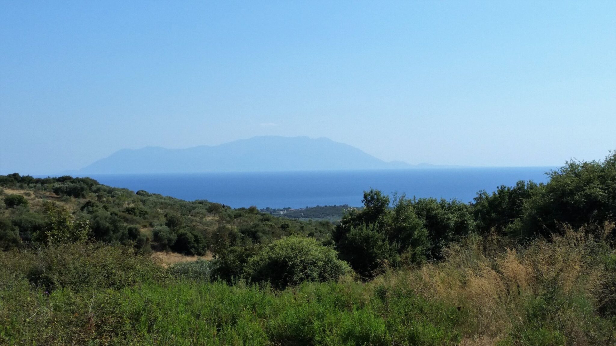
Reaching the extent of the day’s climb there were wonderful views out to the Thracian Sea and the Island of Samothrace. The descent brought me to the village of Dikella where after 29 kilometres I found my first cafe/bar of the day and indulged myself in what I thought was a well deserved glass of ice-cold beer.
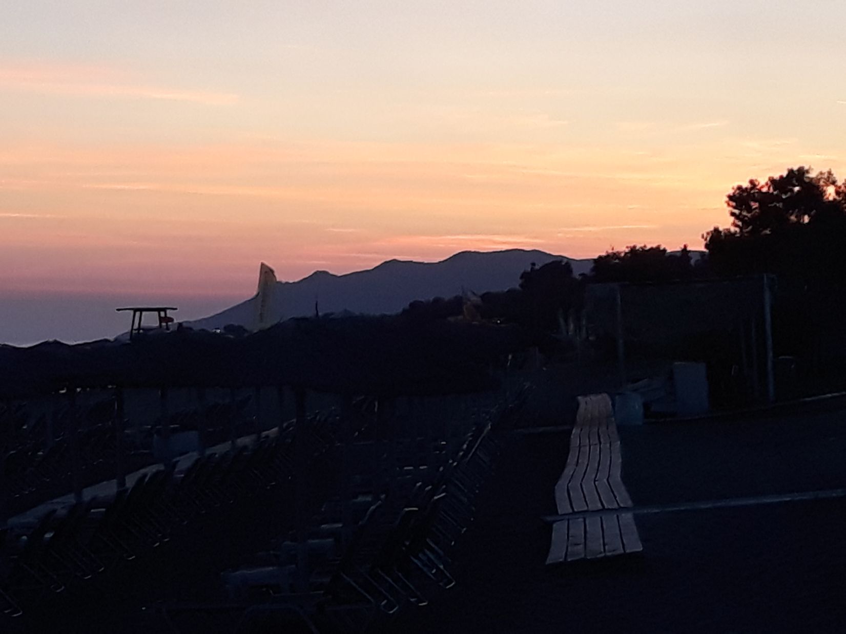
My legs and feet began to feel heavy and were tiring by the step during the final stage to reach my hotel in Agia Paraskevi. The hotel is located close to the sea and later when duly refreshed I was able to relax in a beachside restaurant with the knowledge tomorrow is just a half-day to Alexandroupolì.