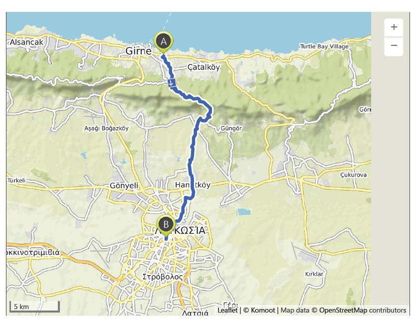
Girne (Kyrenia) to Nicosia – 19th October
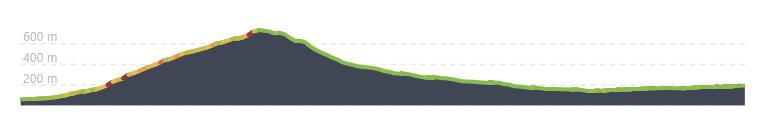
Distance: 27.8 km – Elevation +740 m -610 m
Weather: Sunny. Temperature: High 30 degrees
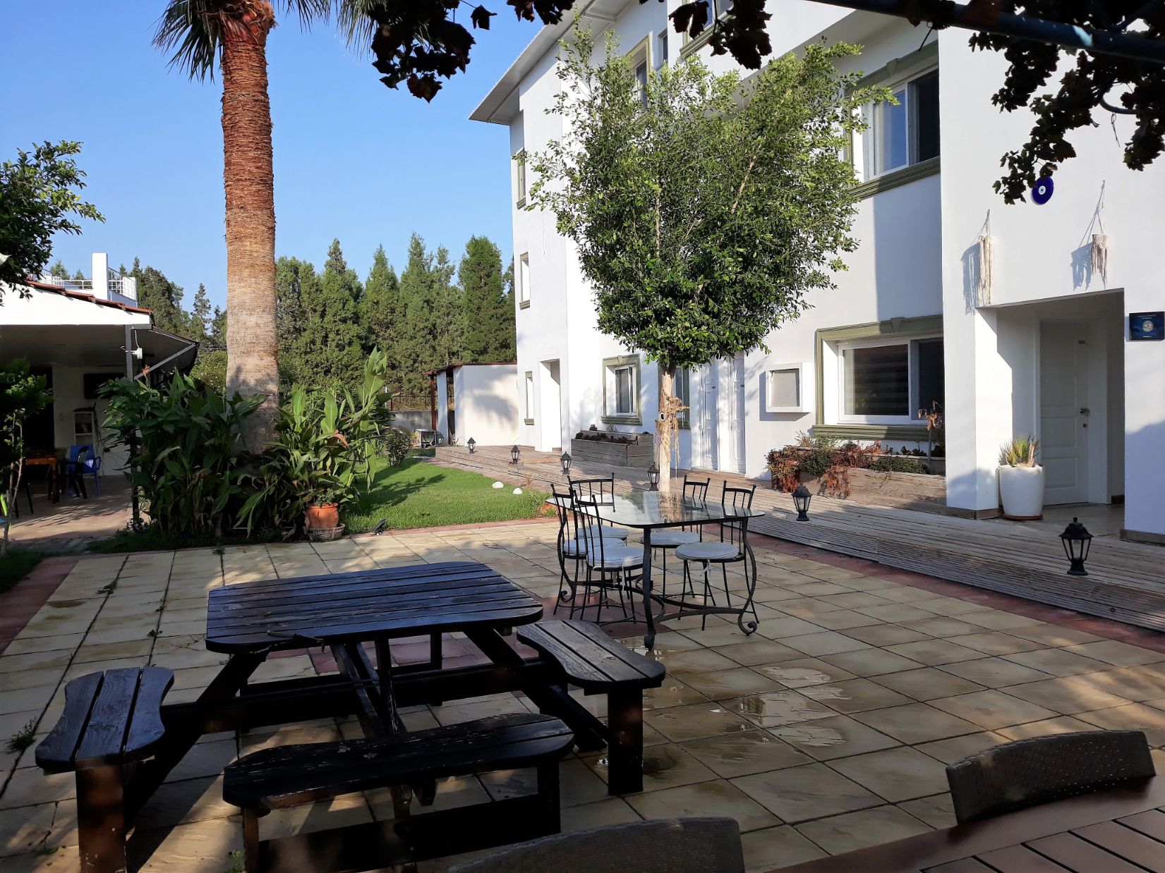
I enjoyed my stay in the Sun Ray hostel and the old harbour and castle in Kyrenia were well worth visiting, also the day spent enjoying Famagusta. However, today was about walking again. After a leisurely breakfast, I set out around 9 am to cross the Kyrenia Mountains to reach Nicosia.
It was a glorious morning as I found my way to the small village of Kazafani now renamed by the Turkish Cypriots to Ozanköy. Local guide and artist, Christine Hessenberg, when speaking to the Cyprus Mail, stated “ The name is rooted deeply in history. In medieval times, the village of Bellapais didn’t exist. It was just the abbey. The [surrounding] village was built much later. The nearest village was Kazafani which is why the abbey was called the Monastery of Cozzafani [a variant of Kazafani].” Kazafani, she notes, was where the errant monks were said to flock “to father their children.”
( https://cyprus-mail.com/2021/08/22/tug-of-war-over-historic-crusader-path-in-north/ )
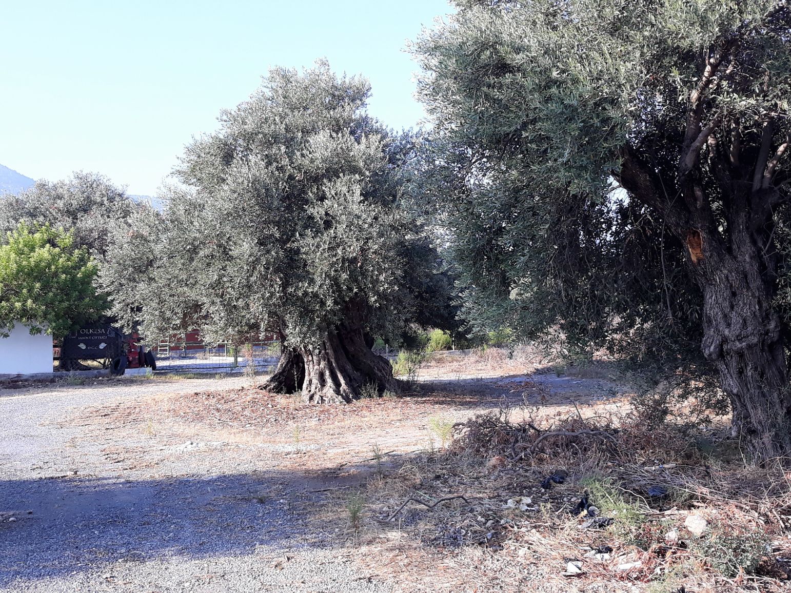
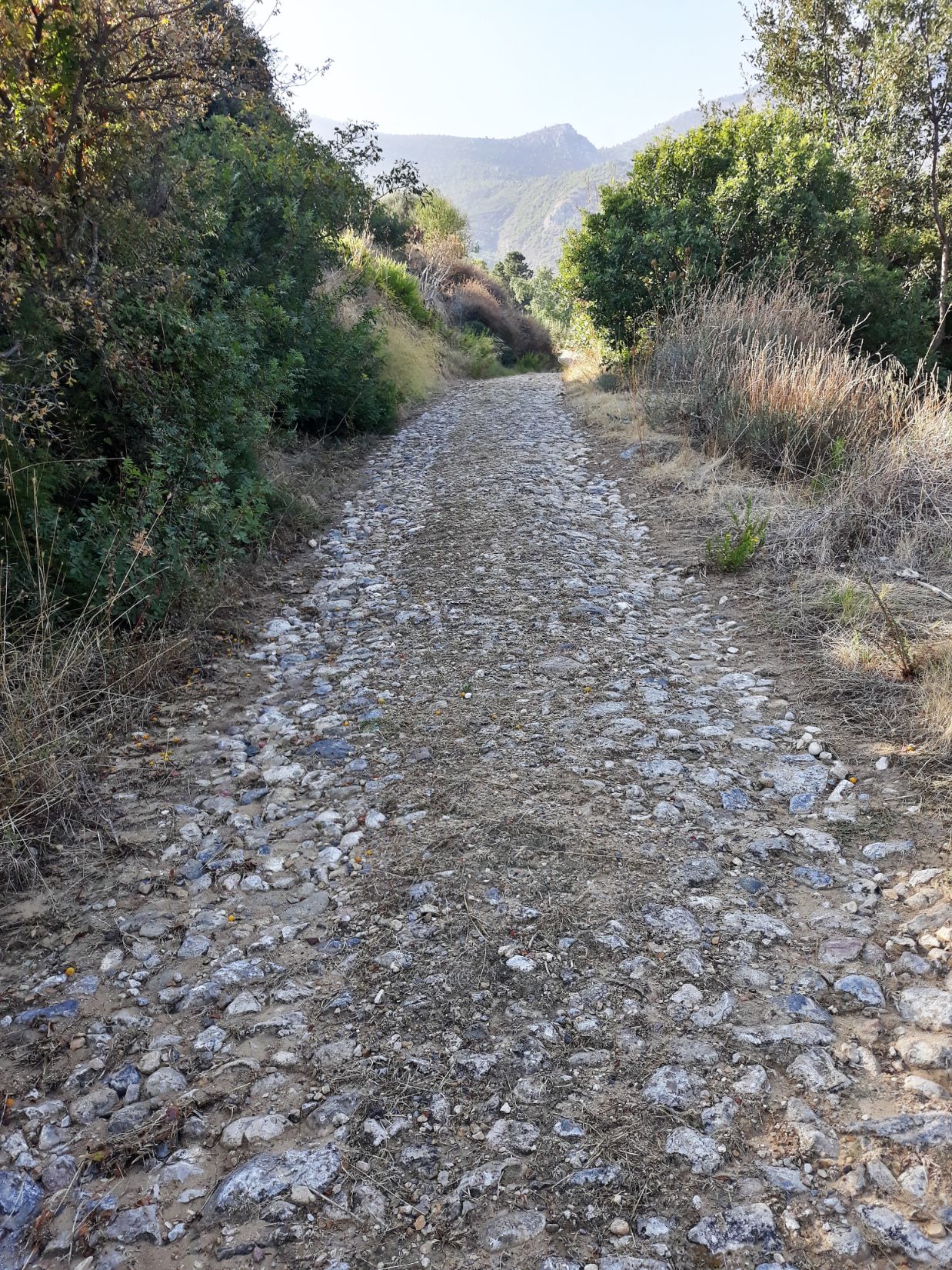
The village is located in the foothills of the Kyrenia Mountains and I passed olive, carob and lemon trees as I made my way to the ancient crusader path that links the village with Bellapais Abbey. This path may have been used by Richard the Lionheart in 1191 when he captured the Island on his way to Acre during the 3rd Crusade. The path a mixture of cobblestones and grass runs along the side of a pine covered ravine and I had a great sense of history knowing that crusaders passed this way on their way to the Levant in an attempt to reconquer the Holy Land following the capture of Jerusalem by the Ayyubid sultan Saladin in 1187.
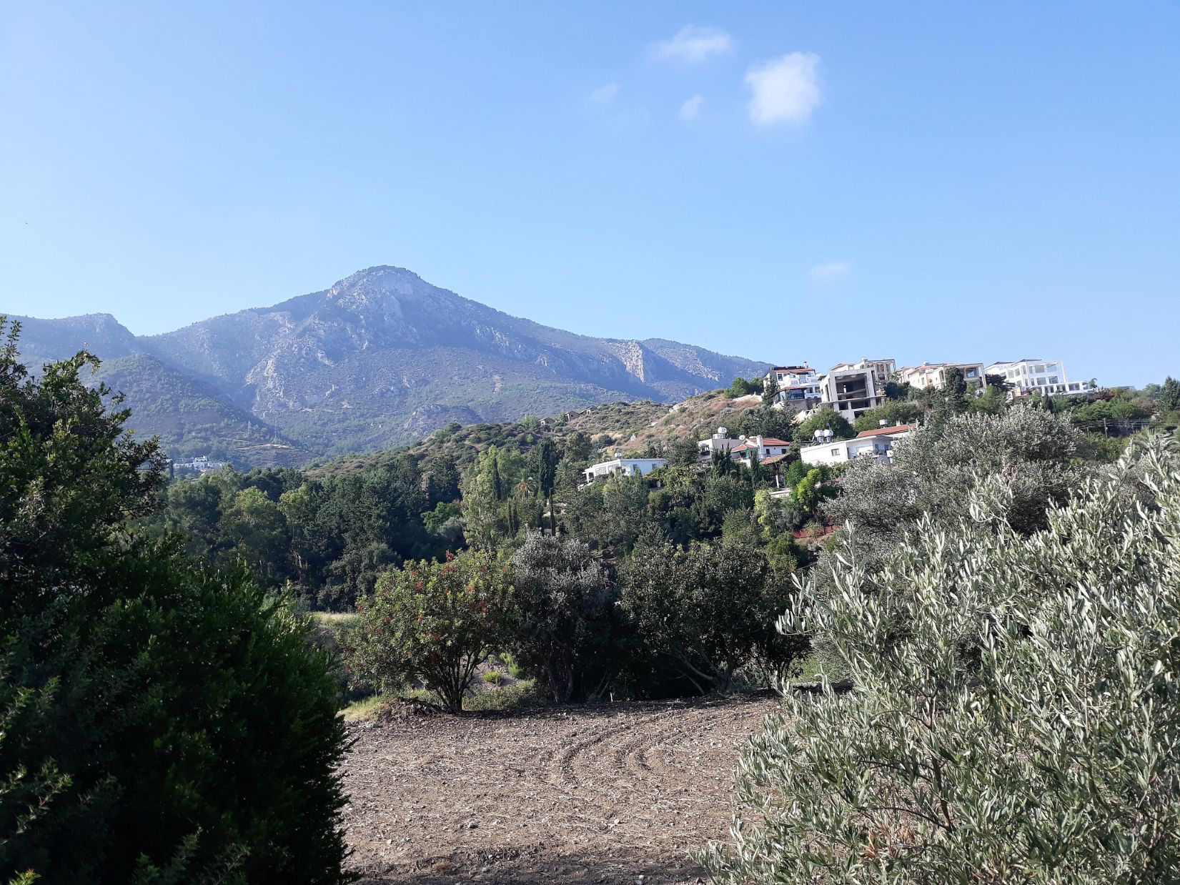
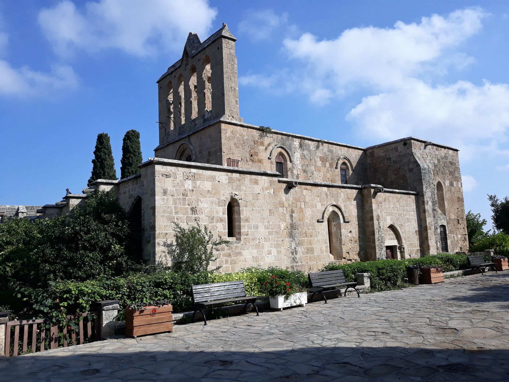
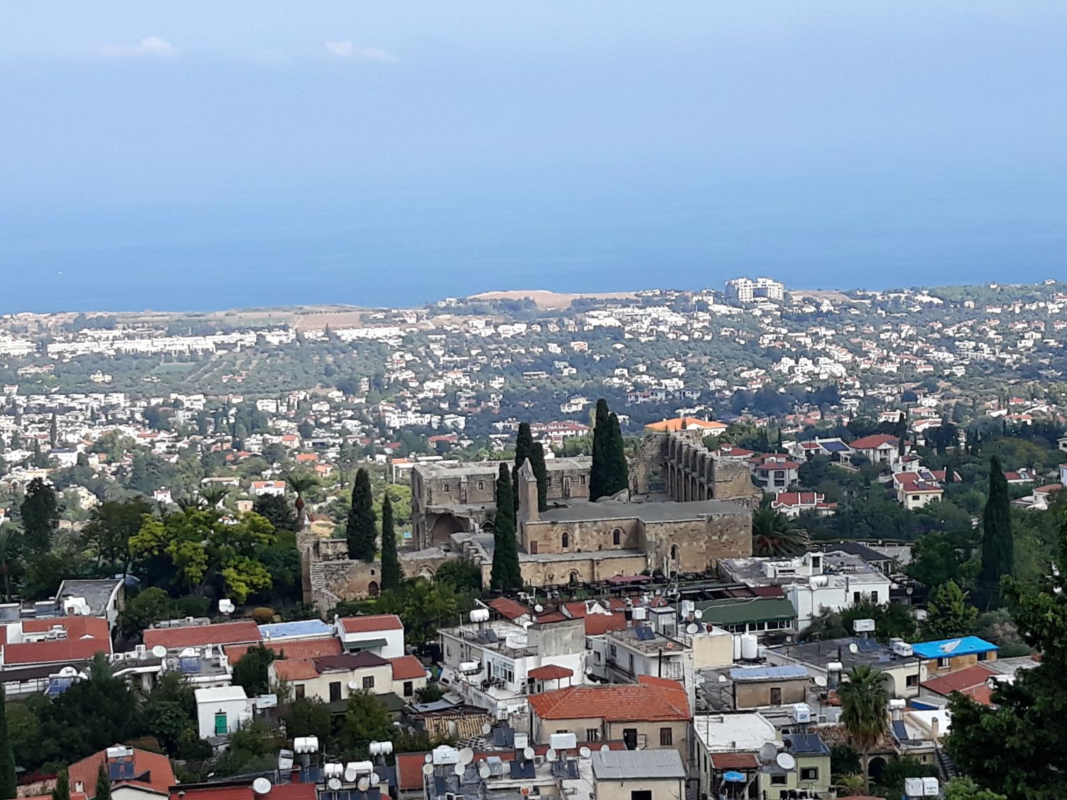
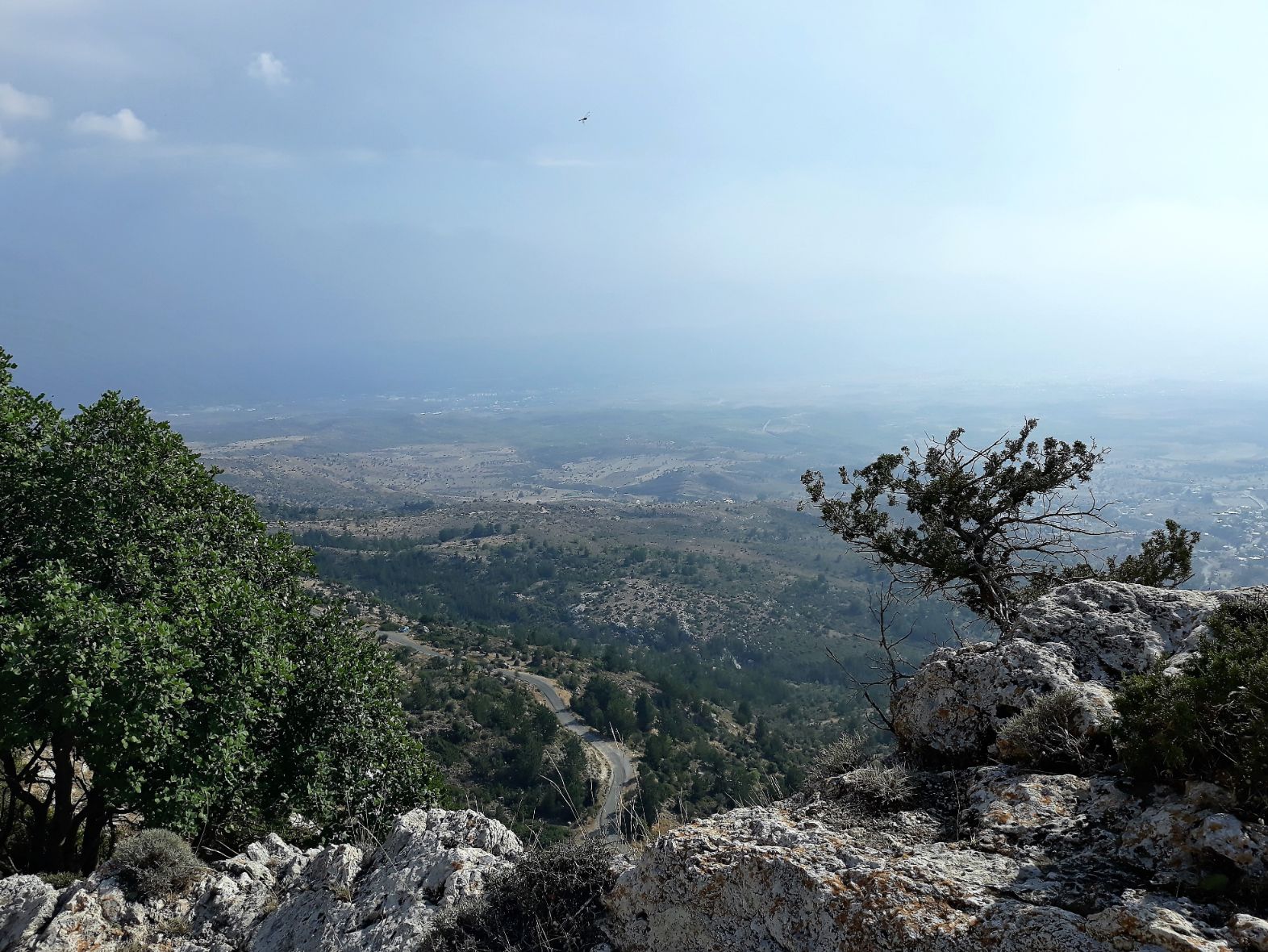
I reached Bellapais at 10.30 pm and rested in the cafe close to the Abbey, watching visitors arriving to view the Abbey. I left just before 11.00 am to commence the climb to the summit of today’s walk. I followed a mainly wide compacted stone track as it snaked its way up the mountain. The views back to the abbey and distant Kyrenia and the Mediterranean Sea were breathtakingly glorious and spectacular. The views continued almost all the way to the summit where they eventually gave way to the majestic mountain peaks. It was absolutely stunning and I was just totally absorbed by the beauty of this day.
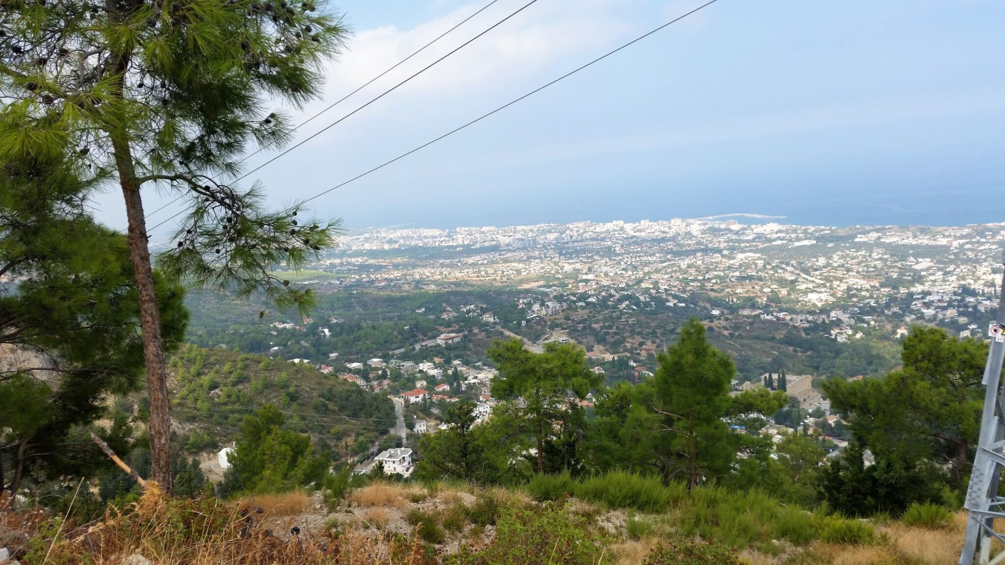
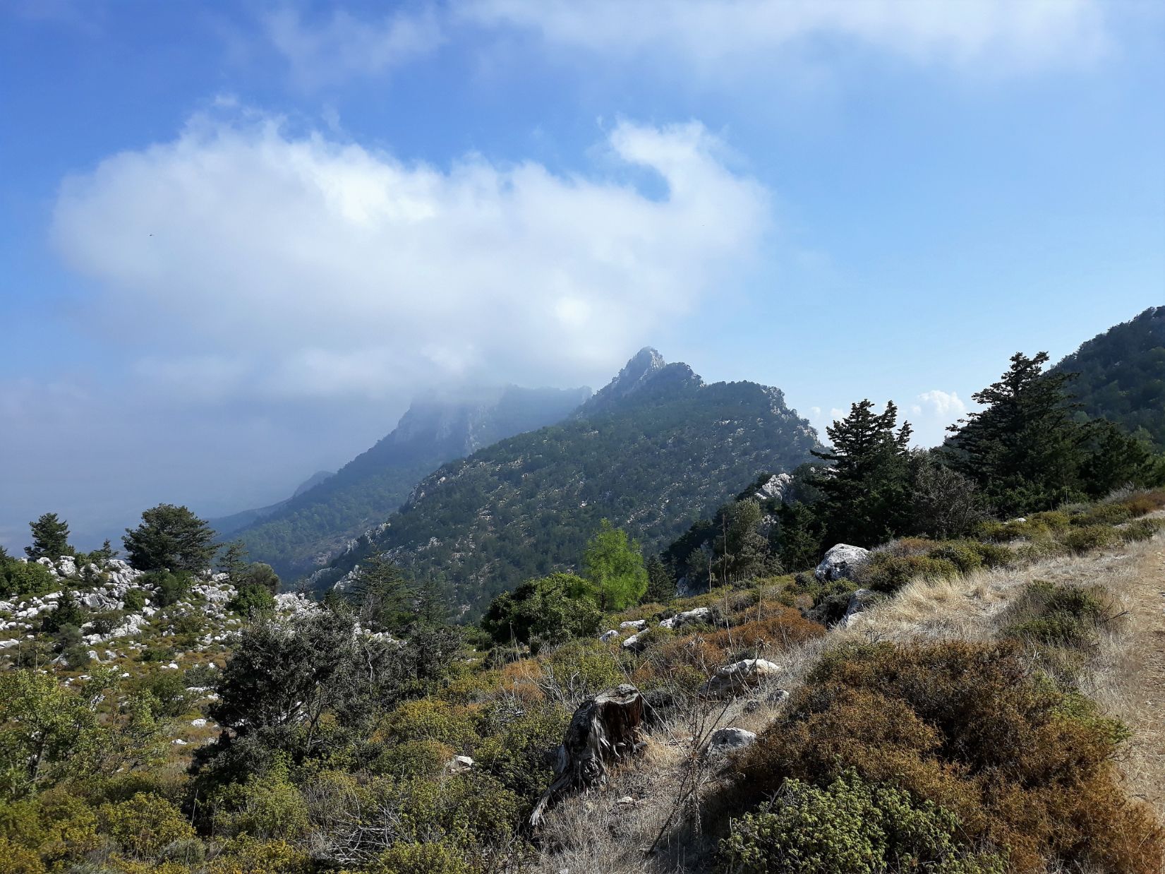
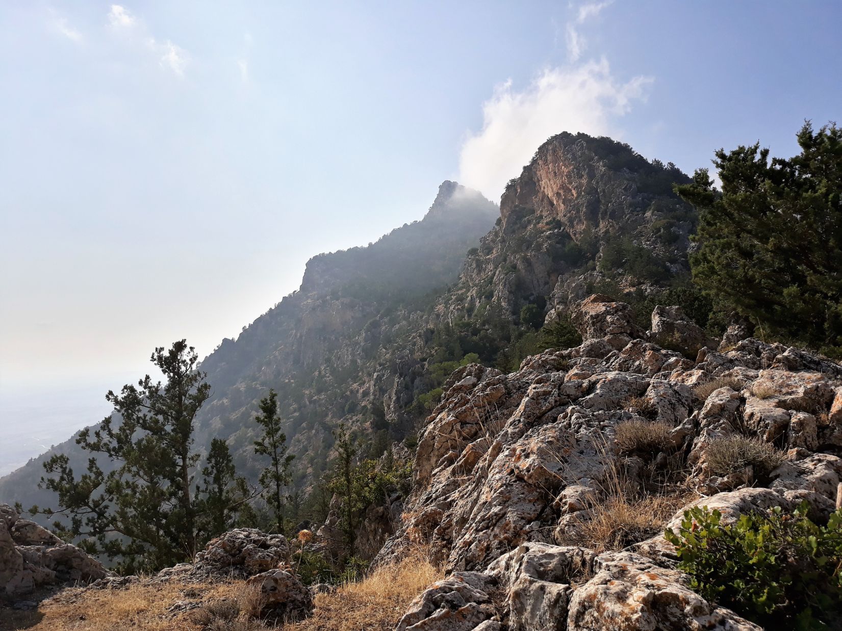
I reached the summit at 1.30 pm, having climbed nearly 700 metres in elevation. From there the path levelled out following a pine covered ridge along the side of the mountain and became progressively narrow and ill-defined, impossible to follow without the aid of GPS. Whilst trying to pick my way along the ridge I heard a shout from below which came from a group of hikers going in the opposite direction but on a lower path. The local guide leading the group said I was on the wrong path and said I should follow the path they were on, so I descended to that path and subsequently found myself going in totally the wrong direction. I turned back to my original path, and after about one hour I came to the other side of the mountain range, and there was a wonderful feeling of relief as I emerged from the unknown of the pine forest to be met with spectacular views of the Mesaoria plain which seemingly stretched forever into the distance. These plains would be my companions for the remainder of my journey through Cyprus.
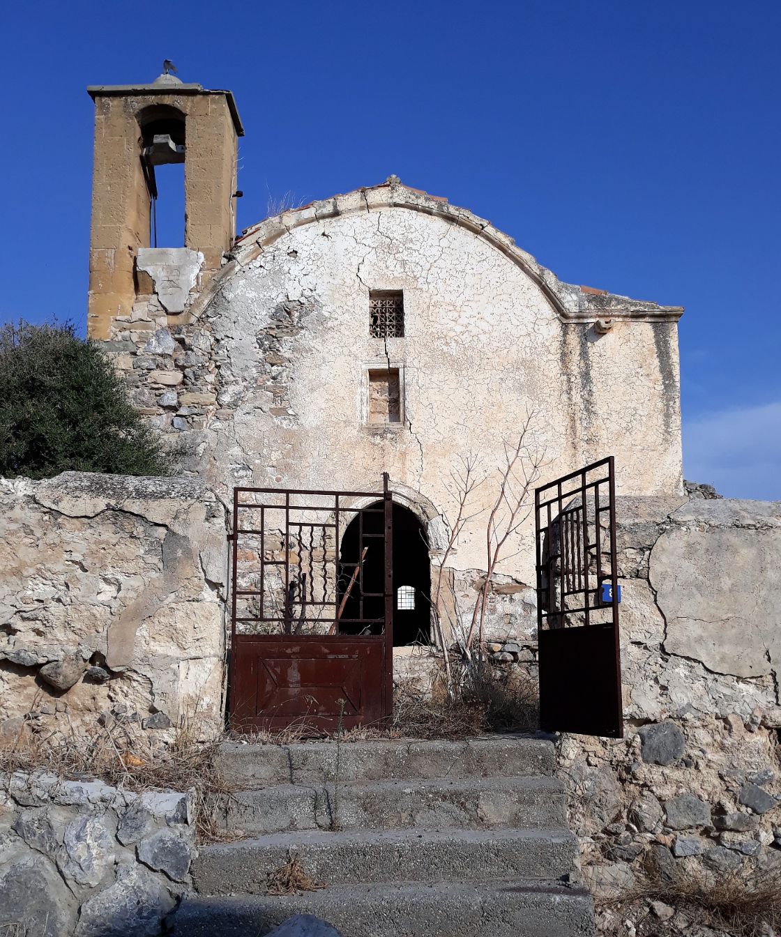
The path that descended from the top was no more than a rocky goat path and required a great deal of care as it wound its way down, dropping 300 metres in elevation to the village of Vouno. Vouno is the highest village on the south side of the Kyrenia Mountains. It was originally a Maronite village and remained so through the rule of the Ottomans and then the British, but during the Turkish invasion in 1974, the residents were forced to move to southern Cyprus. The Maronite Church of Saint Romanos was converted to a museum but the two Greek Orthodox Churches of Saint George and the Holy Cross were destroyed, the ruins of one I passed on my way through the village. The village was renamed by the Turkish Cypriots to Taşkent in memory of their home village of Tokhni which the Turkish Cypriots living there prior to 1974 had renamed Taşkent fin 1958. Taşkent translates from Turkish as the “stone city.”. It was in Tokhni in 1974 that 84 Turkish Cypriot men were massacred by EOKA, the Greek Cypriot nationalist paramilitary organisation. Soon after leaving Vouno I passed on my way to Nicosia the Taşkent Martyrs’ Cemetery.
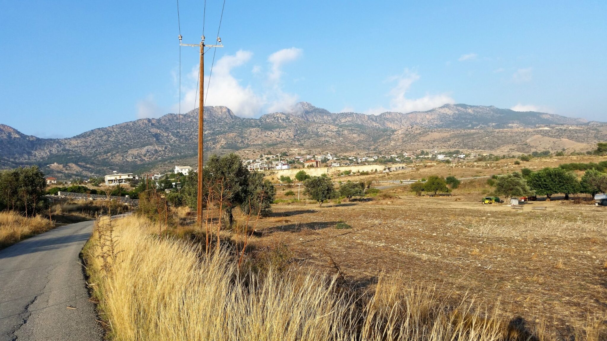
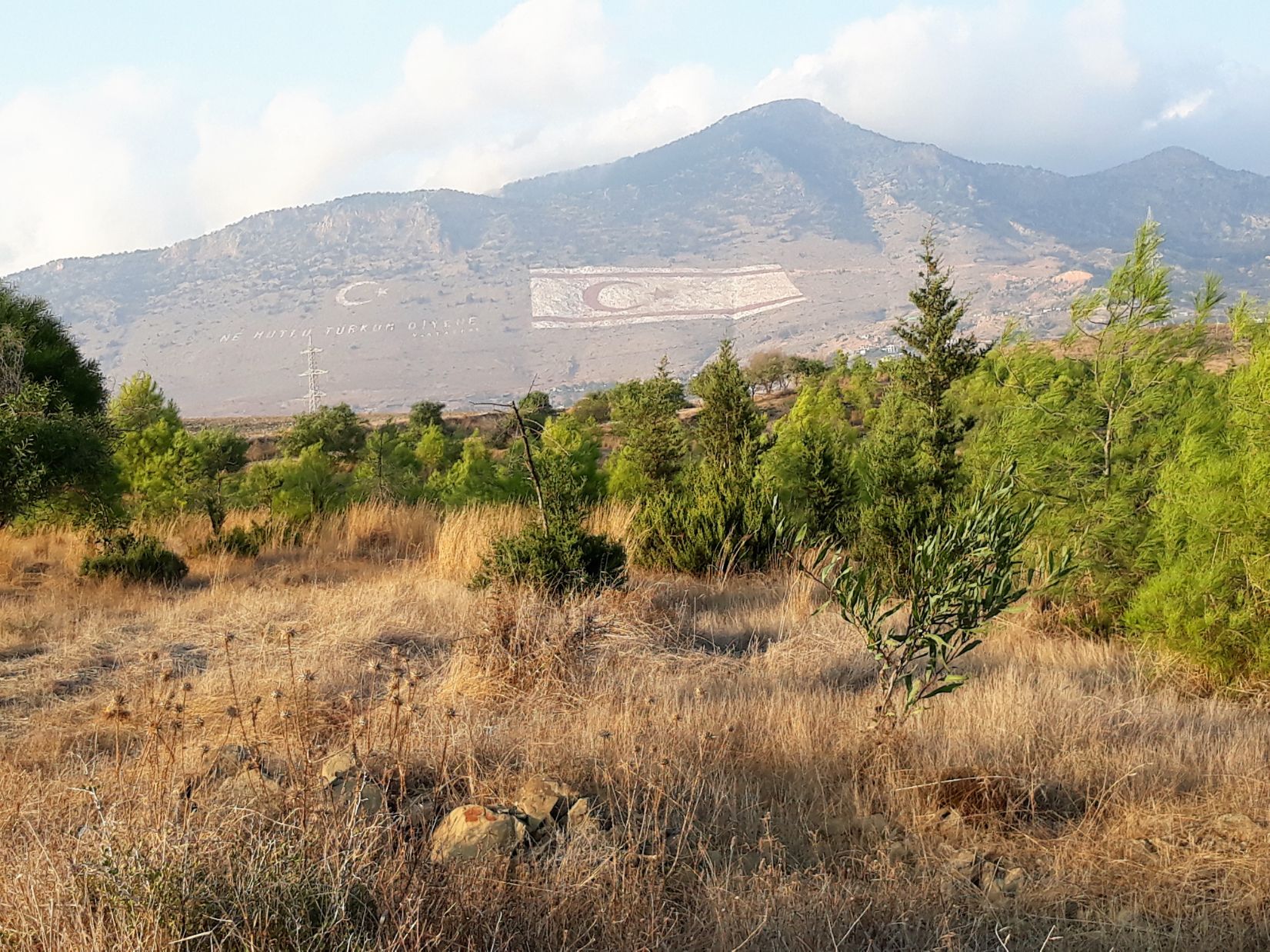
It was 4.00 pm when I left the village and I still had 15 kilometres to walk to reach the Nex Hostel in Nicosia where I had arranged to stay. From Vouno the path continued a gradual descent following minor roads and farm tracks with wonderful views back to the Kyrenia Mountain range. On the side of Mount Pentadaktylos, a 426 metres wide North Cypriot flag image has been painted. It was an enjoyable walk with the now low sun bringing golden colours to the landscape and after passing the barracks of the Turkish Army, I reached Mandres ( Hamitköy), a suburb of Nicosia at 6.00 pm. It was getting late and I still had 9 kilometres to walk and I needed to eat and found a fast food restaurant and ordered a cheeseburger with trimmings. I called the hostel and told them not to expect me until 9.00 pm.
I reached the Ledra Palace checkpoint at 8.30 pm after a hike of 26 kilometres where I was waved through without any checks at the North Turkish customs post and found myself walking through the UN-controlled green zone and passed a number of blue beret soldiers and when I reached the Southern Cyprus checkpoint I was again waved through without any checks and I found myself in the Republic of Cyprus. It was a short 2 kilometre walk to the hostel which is situated on the top floor of a multi-use building where I was greeted by Ilias the owner of the hostel and after showing me to my room he joined me for a glass of beer and a chat on the roof terrace. It had been a long, difficult at times, but all in all a wonderful day’s walk.